
Suris, commune in Charente, France
Location: canton of Chabanais
Location: Charente
Location: arrondissement of Confolens
Location: Terres-de-Haute-Charente
Elevation above the sea: 224 m
Shares border with: Exideuil-sur-Vienne, Genouillac, Lésignac-Durand, Roumazières-Loubert, La Péruse, Saint-Quentin-sur-Charente
GPS coordinates: 45.84944,0.63722
Latest update: June 1, 2025 23:46
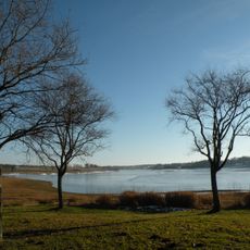
Lake of Lavaud
6.9 km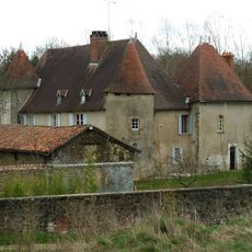
Château de Chambes
8 km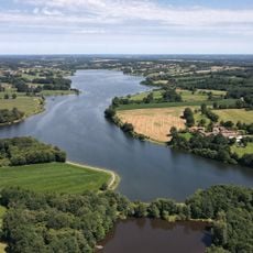
Lac du Mas Chaban
5 km
Château de Pressac
2.1 km
Château de Peyras
3.4 km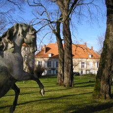
Château de la Chétardie
4.5 km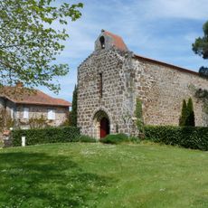
Commanderie du Petit-Madieu
7.5 km
Arboretum du Chêne-Vert
7.4 km
Dolmen de Thauzac
8.3 km
Église Saint-Pierre
3.3 km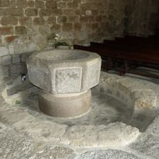
Église Saint-André
5 km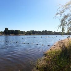
Plage de la Guerlie
7.6 km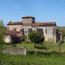
Église Notre-Dame et Saint-Pierre
8.2 km
Église Saint-Martial de Genouillac
5.2 km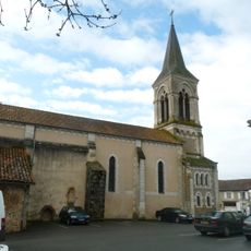
Église Saint-Paul de Massignac
7.9 km
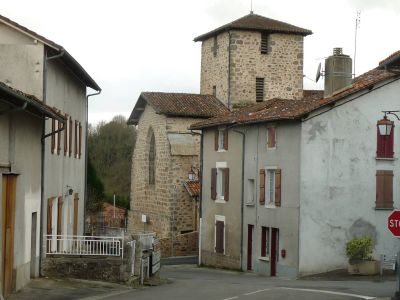
Église de Suris
125 m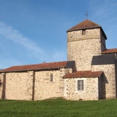
Église Saint-Romain de Saint-Quentin-sur-Charente
2.7 km
Église Saint-Martin de Mouzon
5.2 km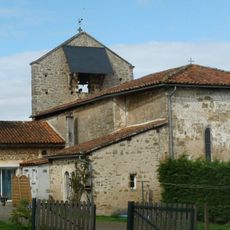
Église Saint-Sulpice de Mazières
5.4 km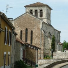
Église Saint-Pierre de Chirac
7.3 km
Église Saint-Pierre de Chabanais
6.9 km
Église Saint-Sébastien
7.2 km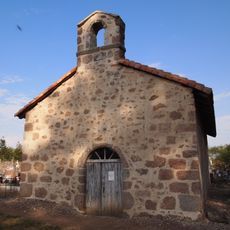
Cemetery chapel of Chirac
7.5 km
Église Saint-Pierre-ès-Liens de Lésignac-Durand
4.2 km
Église Saint-Jean-Baptiste de Loubert
8.3 km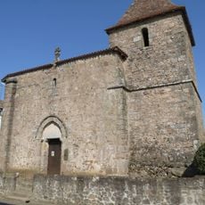
Église Notre-Dame de Grenord
5.4 km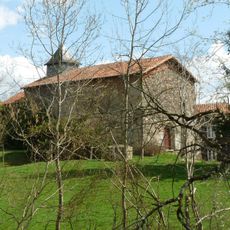
Chapelle Notre-Dame de Laplaud
6.7 km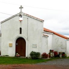
Chapelle Saint-Jean de Fontafie
7.3 kmReviews
Visited this place? Tap the stars to rate it and share your experience / photos with the community! Try now! You can cancel it anytime.
Discover hidden gems everywhere you go!
From secret cafés to breathtaking viewpoints, skip the crowded tourist spots and find places that match your style. Our app makes it easy with voice search, smart filtering, route optimization, and insider tips from travelers worldwide. Download now for the complete mobile experience.

A unique approach to discovering new places❞
— Le Figaro
All the places worth exploring❞
— France Info
A tailor-made excursion in just a few clicks❞
— 20 Minutes