
Sainte-Lunaise, commune in Cher, France
Location: canton of Levet
Location: Cher
Location: arrondissement of Bourges
Industry: administration publique générale
Shares border with: Arçay, Châteauneuf-sur-Cher, Corquoy, Lapan, Levet, Serruelles
GPS coordinates: 46.92056,2.34833
Latest update: March 12, 2025 03:34
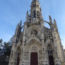
Basilica of Our Lady of the Children
7.1 km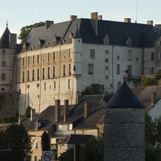
Château de Châteauneuf-sur-Cher
7.2 km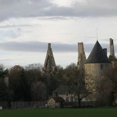
Château de Bois-Sire-Amé
10.1 km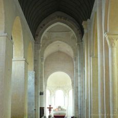
Église Saint-Martin de Plaimpied
11.9 km
Our Lady of Children
7.2 km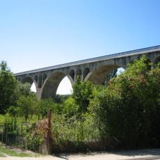
Viaduc de Saint-Florent-sur-Cher
10.6 km
Château de Saint-Florent-sur-Cher
11.3 km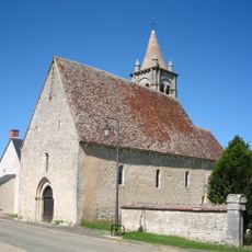
Église Saint-Laurent de Primelles
10.4 km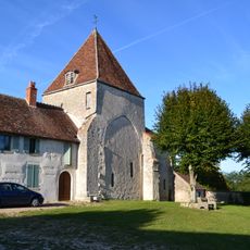
Église Saint-Martin
5.3 km
Église Saint-Ursin de Serruelles
4.5 km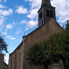
Église de Lissay-Lochy
7.2 km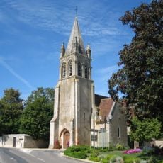
Église Notre-Dame du Subdray
10.9 km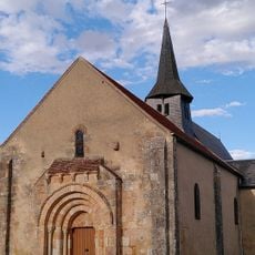
Église Saint-Saturnin de Vorly
9.2 km
Église Saint-Symphorien de Saint-Symphorien
12.4 km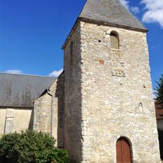
Collégiale Saint-Pierre de Venesmes
9.4 km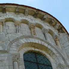
Abbaye Saint-Martin de Plaimpied
11.9 km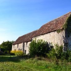
Chapelle Notre-Dame de Sérigny
11.5 km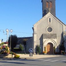
Église Saint-Pierre de Trouy
9.8 km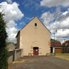
Saints Gervasius and Protasius Church
11.9 km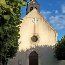
Église Saint-Pierre de Senneçay
7.5 km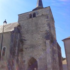
Église Saint-Baudel de Saint-Baudel
14 km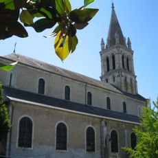
Église Saint-Florent de Saint-Florent-sur-Cher
11 km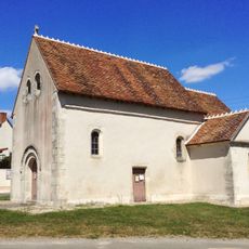
Église Sainte-Anne de Chavannes
7.9 km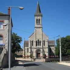
Église Saint-Albert de Rosières
8.4 km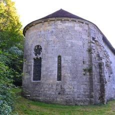
Prieuré de Grandmont
6.1 km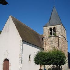
Église Saint-Privé de Lunery
6.3 km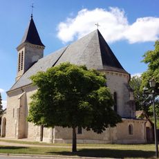
Église Saint-Loup de Saint-Loup-des-Chaumes
11.3 km
Château de la Périsse
13.8 kmReviews
Visited this place? Tap the stars to rate it and share your experience / photos with the community! Try now! You can cancel it anytime.
Discover hidden gems everywhere you go!
From secret cafés to breathtaking viewpoints, skip the crowded tourist spots and find places that match your style. Our app makes it easy with voice search, smart filtering, route optimization, and insider tips from travelers worldwide. Download now for the complete mobile experience.

A unique approach to discovering new places❞
— Le Figaro
All the places worth exploring❞
— France Info
A tailor-made excursion in just a few clicks❞
— 20 Minutes