
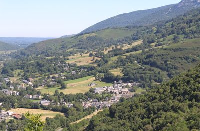
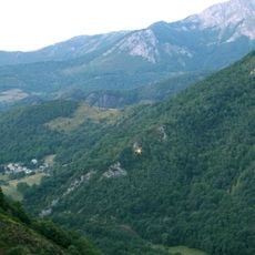
Ilhet, commune in Hautes-Pyrénées, France
Location: canton of Arreau
Location: Hautes-Pyrénées
Location: arrondissement of Bagnères-de-Bigorre
Elevation above the sea: 634 m
Industry: administration publique générale
Shares border with: Sarrancolin, Beyrède-Jumet, Camous
Phone: +33562987567
Email: commune.ilhet@orange.fr
GPS coordinates: 42.96389,0.38250
Latest update: March 19, 2025 17:27
Noisetier Cave
4.1 km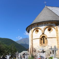
Église Saint-Laurent de Jézeau
7 km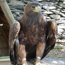
The Eagles of Aure
6.5 km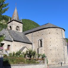
Église Saint-Pierre-Saint-Ebons de Sarrancolin
542 m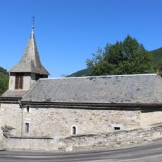
Église Saint-Vincent de Pouy
7.7 km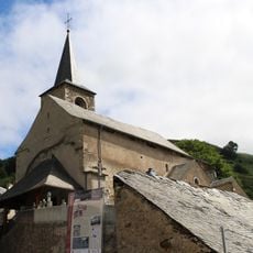
Église Notre-Dame-de-l'Assomption d'Ilhet
115 m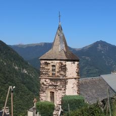
Église Saint-Pierre-aux-Liens d'Ardengost
4.6 km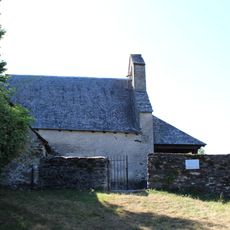
Église Saint-Étienne de Pailhac
6.5 km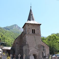
Église Saint-Laurent de Camous
2.2 km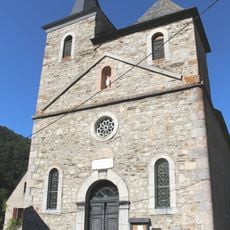
Église Saint-Martin d'Is
7.4 km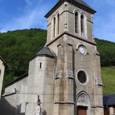
Église Saint-Martin d'Aspin-Aure
5 km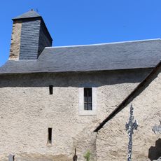
Église Saint-Saturnin de Fréchet-Aure
3.7 km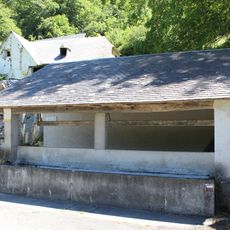
Lavoir de Fréchet-Aure
3.8 km
Porte Sainte-Quitterie
403 m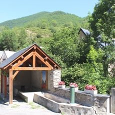
Lavoir de Pouy
7.7 km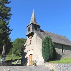
Église Saint-Ebons de Rebouc
3.7 km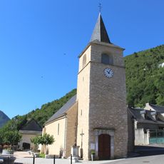
Église Saint-Martin de Beyrède
933 m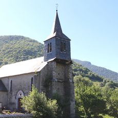
Église Saint-Pierre de Héchettes
6.1 km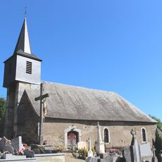
Église de l'Assomption d'Haut Nistos
7.8 km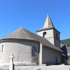
Église Saint-Geniès de Jumet
2.4 km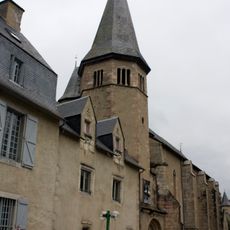
Maison de Saint-Exupère
6.7 km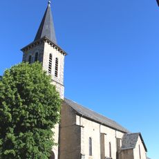
Église Saint-Pierre de Hèches
6.1 km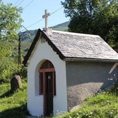
Chapelle Sainte-Anne d'Ilhet
476 m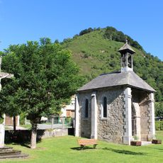
Chapelle Notre-Dame-d'Esplantas
1.2 km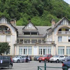
École de Sarrancolin
626 m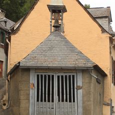
Chapelle Notre-Dame de Bon-Rencontre
6.7 km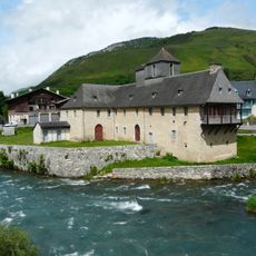
Château des Nestes
6.7 km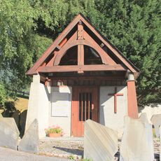
Chapelle de Beyrède
722 mReviews
Visited this place? Tap the stars to rate it and share your experience / photos with the community! Try now! You can cancel it anytime.
Discover hidden gems everywhere you go!
From secret cafés to breathtaking viewpoints, skip the crowded tourist spots and find places that match your style. Our app makes it easy with voice search, smart filtering, route optimization, and insider tips from travelers worldwide. Download now for the complete mobile experience.

A unique approach to discovering new places❞
— Le Figaro
All the places worth exploring❞
— France Info
A tailor-made excursion in just a few clicks❞
— 20 Minutes