
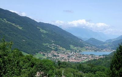
Saint-Pierre-d'Allevard, former commune in Isère, France
Location: canton of Allevard
Location: Isère
Location: arrondissement of Grenoble
Elevation above the sea: 943 m
Shares border with: Morêtel-de-Mailles
Website: http://mairie-saint-pierre-dallevard.fr
GPS coordinates: 45.37472,6.04806
Latest update: May 29, 2025 03:43
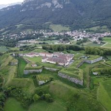
Fort Barraux
8.3 km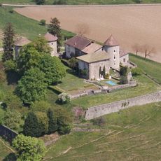
Château Bayard
5.9 km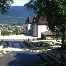
Château du Touvet
8 km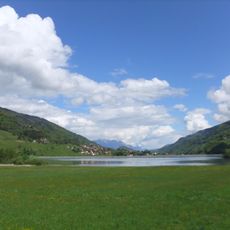
Lac du Flumet
1.3 km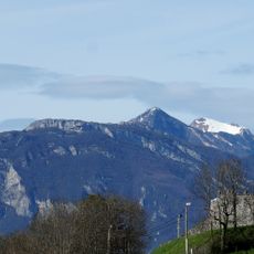
Tour d'Avalon
6.2 km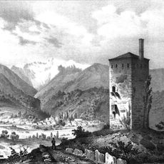
Tour du Treuil
3.7 km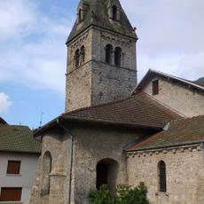
Église de Saint-Pierre d'Allevard
132 m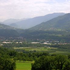
Gorges du Bréda
6.9 km
Vallée du Haut Bréda
7.1 km
Crêt du Poulet
5.1 km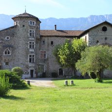
Manoir de la Tour
4.6 km
Grand Rocher
7.9 km
Vallée d'Allevard
2.4 km
Crêt Luisard
6.3 km
Coteau de l'Adret
6.9 km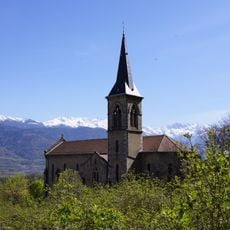
Église Saint-Vincent de Saint-Vincent-de-Mercuze
7.8 km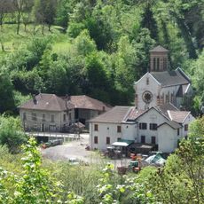
Église Saint-Michel de Morêtel-de-Mailles
2.6 km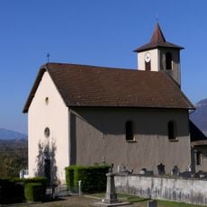
Église Saint-François-de-Sales de Laissaud
8.1 km
Equestrian statue of the Chevalier de Bayard
6.8 km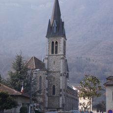
Église Saint-Didier du Touvet
7.7 km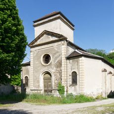
Église de la Sainte-Vierge de Pontcharra
6.2 km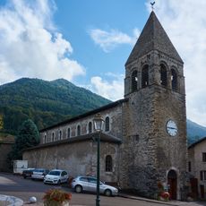
Saint Thérèse of Lisieux Church
6.4 km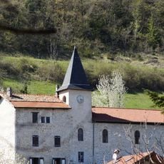
Église Saint-Philibert de La Flachère
7.2 km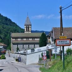
Église Saint-Maurice de Pinsot
4.5 km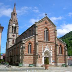
Église Saint-Marcel d'Allevard
3 km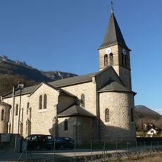
Église Saint-Jean-Baptiste de La Buissière
6.3 km
Église Saint-Jean-Baptiste du Moutaret
7.2 km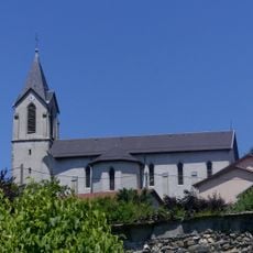
Église de l'Assomption de La Chapelle-Blanche
8.4 kmReviews
Visited this place? Tap the stars to rate it and share your experience / photos with the community! Try now! You can cancel it anytime.
Discover hidden gems everywhere you go!
From secret cafés to breathtaking viewpoints, skip the crowded tourist spots and find places that match your style. Our app makes it easy with voice search, smart filtering, route optimization, and insider tips from travelers worldwide. Download now for the complete mobile experience.

A unique approach to discovering new places❞
— Le Figaro
All the places worth exploring❞
— France Info
A tailor-made excursion in just a few clicks❞
— 20 Minutes