
Uchentein, former commune in Ariège, France
Location: canton of Castillon-en-Couserans
Location: Ariège
Location: arrondissement of Saint-Girons
Elevation above the sea: 640 m
Shares border with: Balacet, Bonac-Irazein, Les Bordes-sur-Lez, Salsein
GPS coordinates: 42.88806,1.00111
Latest update: March 20, 2025 06:34

Cap de Bouirex
9.7 km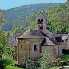
Église Notre-Dame d'Ourjout
2.8 km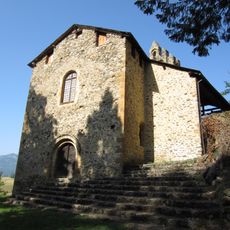
Église Saint-Pierre
4.5 km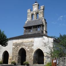
Église Notre-Dame-de-Tramesaygues
5 km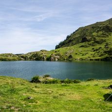
Étang d'Ayès
7.1 km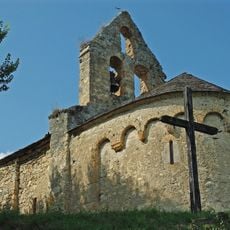
Chapelle d'Aulignac
2.8 km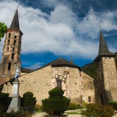
Église Notre-Dame de Sentein
4.1 km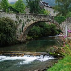
Pont de Bordes-sur-Lez
2.8 km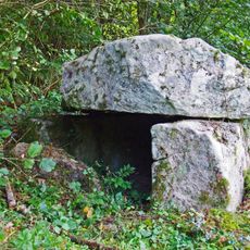
Dolmen d'Ayer
1.2 km
Eglise d'Ayet
4.8 km
Église Saint-Pierre de Galey
8.8 km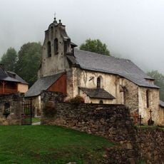
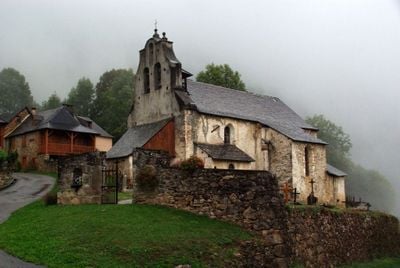
Église Saint-Étienne d'Uchentein
47 m
Église Saint-Michel d'Engomer
7.4 km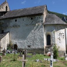
Église Saint-Martin d'Antras
4.8 km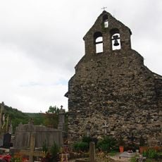
Chapelle Saint-Quintin de Galey
8.6 km
Église Saint-Lizier de Balacet
1.7 km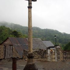
Croix d'Antras
4.8 km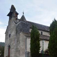
Église Saint-Pierre d'Argein
5 km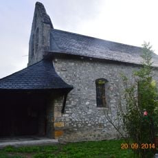
Église Saint-Sabin d'Aucazein
5.8 km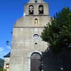
Église Saint-Pierre d'Arrout
6.7 km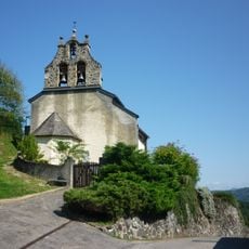
Église Saint-André de Salsein
2.6 km
Église Notre-Dame-de-l'Assomption d'Orgibet
7.4 km
Église Saint-Michel d'Arrien-en-Bethmale
3.4 km
Église Saint-Genez de Cescau
5.7 km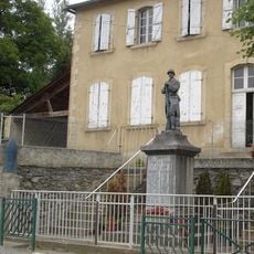
Orgibet war memorial
7.3 km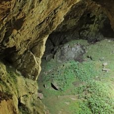
Grotte de Sainte-Catherine
8 km
Église de la Décollation-de-Saint-Jean-Baptiste de Bonac
2.5 km
Saint Vincent Church of Balagué, Balaguères
8.9 kmReviews
Visited this place? Tap the stars to rate it and share your experience / photos with the community! Try now! You can cancel it anytime.
Discover hidden gems everywhere you go!
From secret cafés to breathtaking viewpoints, skip the crowded tourist spots and find places that match your style. Our app makes it easy with voice search, smart filtering, route optimization, and insider tips from travelers worldwide. Download now for the complete mobile experience.

A unique approach to discovering new places❞
— Le Figaro
All the places worth exploring❞
— France Info
A tailor-made excursion in just a few clicks❞
— 20 Minutes