Canton of Montlouis-sur-Loire, canton of France
Location: Indre-et-Loire
Inception: March 22, 2015
Capital city: Montlouis-sur-Loire
GPS coordinates: 47.37856,0.79335
Latest update: March 4, 2025 08:31
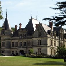
Château de la Bourdaisière
3.5 km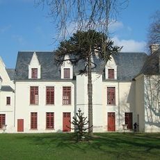
Château de Cangé
3.2 km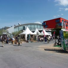
Grand Hall
5.4 km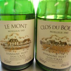
Domaine Huet
4.1 km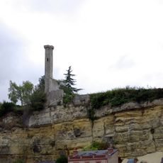
Lanterne de Rochecorbon
4.4 km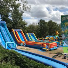
Lulu Parc
4.8 km
Youpimom
6.1 km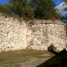
Castellum de Larçay
1.8 km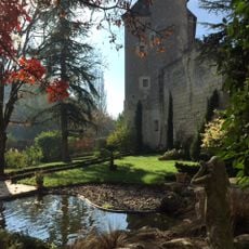
Château d'Azay-sur-Cher
5.2 km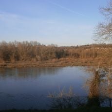
Île aux Vaches
5.7 km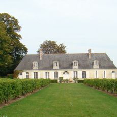
Château Gaudrelle
5.5 km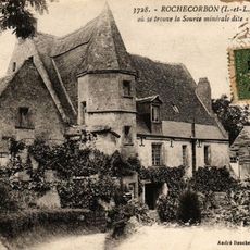
Moulin de Touvoie
5.7 km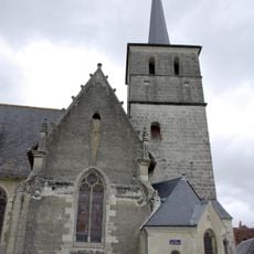
Église Notre-Dame de Véretz
2.2 km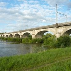
Viaduc de Montlouis
2.5 km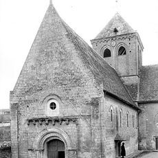
Church Saint George in Rochecorbon
4.9 km
Manoir de la Singerie
5.6 km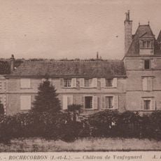
Château de l'Olivier
5.3 km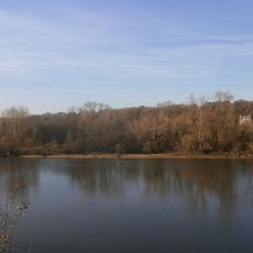
Île des Buteaux
4.8 km
Île aux Hoplias
3.5 km
Château de Vaufoinard
5.7 km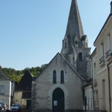
Église Sainte-Marie-Madeleine d'Azay-sur-Cher
5.2 km
Caveau du Château Moncontour
3.7 km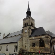
Église Saint-Laurent de Montlouis-sur-Loire
2.9 km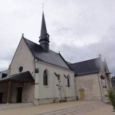
Église Saint-Avertin de Saint-Avertin
4.2 km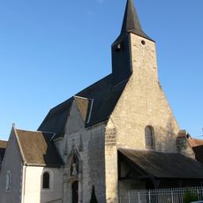
Église paroissiale Notre-Dame de La-Ville-aux-Dames
3 km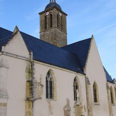
Église Notre-Dame-et-Saint-Jean-Baptiste de Vouvray
3.8 km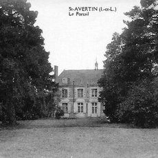
Château du Portail
5.9 km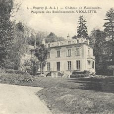
Château de Vaudenuits
4.1 kmReviews
Visited this place? Tap the stars to rate it and share your experience / photos with the community! Try now! You can cancel it anytime.
Discover hidden gems everywhere you go!
From secret cafés to breathtaking viewpoints, skip the crowded tourist spots and find places that match your style. Our app makes it easy with voice search, smart filtering, route optimization, and insider tips from travelers worldwide. Download now for the complete mobile experience.

A unique approach to discovering new places❞
— Le Figaro
All the places worth exploring❞
— France Info
A tailor-made excursion in just a few clicks❞
— 20 Minutes