
Siguer, commune in Ariège, France
Location: canton of Vicdessos
Location: Ariège
Location: arrondissement of Foix
Elevation above the sea: 1,717 m
Shares border with: Capoulet-et-Junac, Gestiès, Illier-et-Laramade, Lercoul, Ordino
Phone: +33561056545
Email: contact@mairie-siguer.fr
Website: https://mairie-siguer.fr
GPS coordinates: 42.76472,1.56556
Latest update: May 30, 2025 05:38
Étang de Soulcem
14.5 km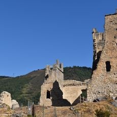
Château de Miglos
4.1 km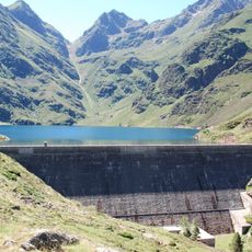
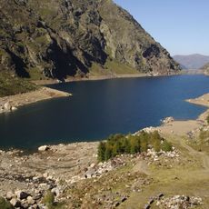
Lac d'Izourt
10.2 km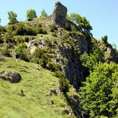
Château de Montréal-de-Sos
6.2 km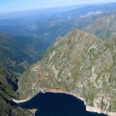
Lac de Gnioure
8.5 km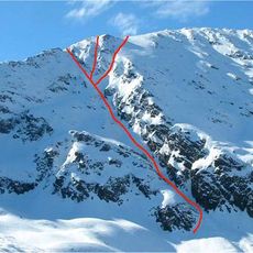
Pique d'Endron
6.4 km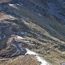
Port de Siguer
12.5 km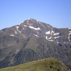
Pic du Port ou Pic de Font Blanca
13.1 km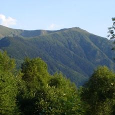
Pic du Midi de Siguer
4.5 km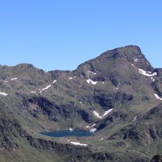
Pic de Tristagne
13.7 km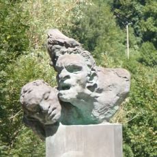
Monument aux morts de Capoulet-et-Junac
3.2 km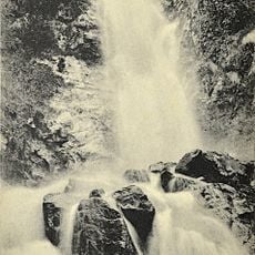
Cascade de Caraoucou
4.2 km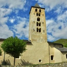
Église Saint-Hilaire d'Arquizat
4.1 km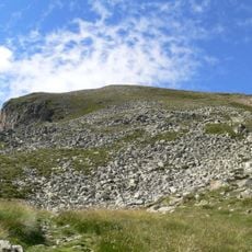
Pic des Redouneilles
8.6 km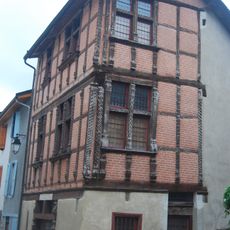
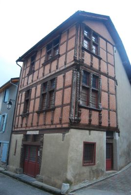
Maison des comtes de Foix
7.5 km
Pic de Baljésou
5.8 km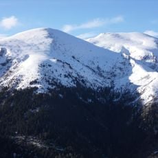
La Calbe
5.2 km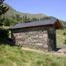
Refuge de Besali
15.3 km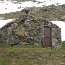
Cabane de Banyell
13.3 km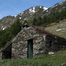
Cabanes del Castellar
15.3 km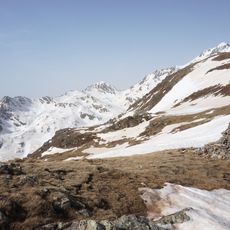
Pic de Besalí
14.2 km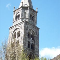
Église Notre-Dame de Vicdessos
5.3 km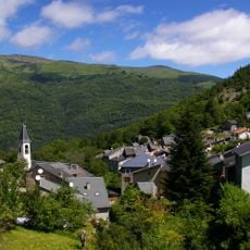
Église de l'Exaltation-de-la-Sainte-Croix de Sem
3.9 km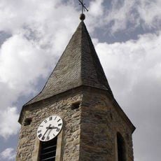
Église Saint-Nicolas de Gestiès
664 m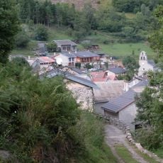
Église Saint-Martin de Lercoul
1.7 km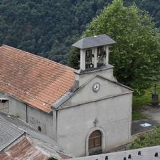
Église Saint-Paul de Lapège
3.9 km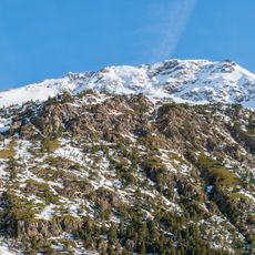
Pic de l'Arbella
14.1 km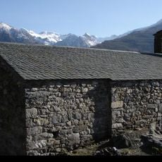
Chapelle Saint-Nicolas de Gestiès
737 mReviews
Visited this place? Tap the stars to rate it and share your experience / photos with the community! Try now! You can cancel it anytime.
Discover hidden gems everywhere you go!
From secret cafés to breathtaking viewpoints, skip the crowded tourist spots and find places that match your style. Our app makes it easy with voice search, smart filtering, route optimization, and insider tips from travelers worldwide. Download now for the complete mobile experience.

A unique approach to discovering new places❞
— Le Figaro
All the places worth exploring❞
— France Info
A tailor-made excursion in just a few clicks❞
— 20 Minutes