
Rémalard, former commune in Orne, France
Location: canton of Rémalard
Location: Orne
Location: arrondissement of Mortagne-au-Perche
Industry: administration publique générale
Shares border with: Le Mage
GPS coordinates: 48.42889,0.77222
Latest update: June 3, 2025 17:46
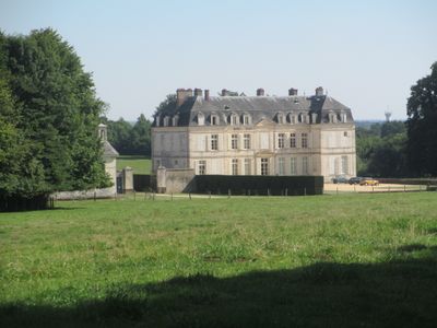

Château de Voré
2.5 km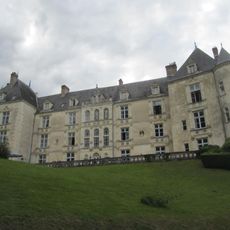
Château de Villeray
6.1 km
Château de Maison-Maugis
5.7 km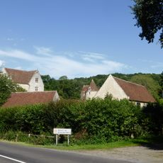
Manoir de Boiscorde
3.1 km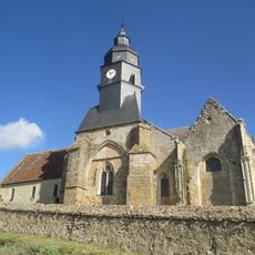
Église Notre-Dame du Mont-Harou
7.8 km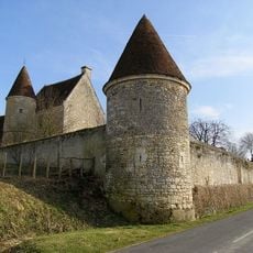
Manoir de la Moussetière
4.9 km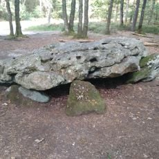
Dolmen de la Grosse-Pierre
4.5 km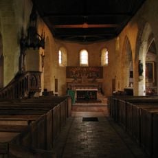
Église Saint-Germain-d'Auxerre de Rémalard
461 m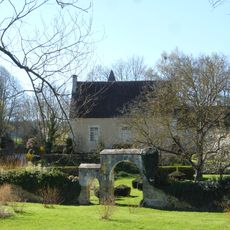
Manoir du Pontgirard
7.4 km
Manoir du Plessis
7.8 km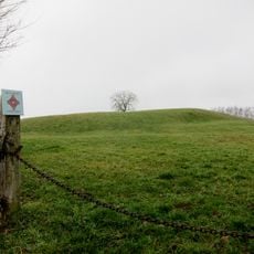
Motte castrale du Châtellier
1.6 km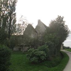
Manoir du Grand-Saint-Quentin
8 km
Église Saint-Ouen de Verrières
4.2 km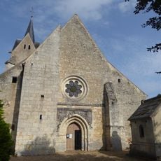
Église Saint-Étienne de Dorceau
2.1 km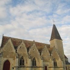
Église Saint-Jouin de Dancé
7.3 km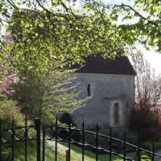
Chapelle de Rivray
8.1 km
Motte castrale du Château
145 m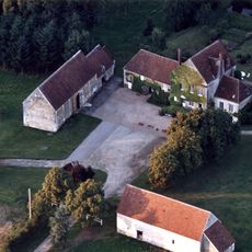
Manoir des Touches
4.1 km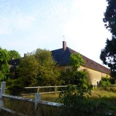
Ferme Neuve
1.8 km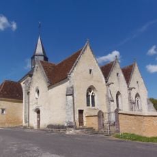
Église Saint-Germain-d'Auxerre de Saint-Germain-des-Grois
5.4 km
Église Notre-Dame de Condé-sur-Huisne
7.9 km
Église Saint-Nicolas de Maison-Maugis
5.6 km
Église Saint-Denis de Condeau
6.7 km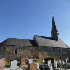
Église Saint-Jean-Baptiste de Monceaux-au-Perche
8 km
Église Saint-Pierre de Saint-Pierre-la-Bruyère
7.7 km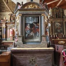
Retable du pilier nord de l'église Notre-Dame-du-Mont-Harou de Moutiers-au-Perche
7.8 km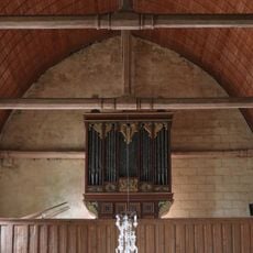
Moutiers-au-Perche Notre-Dame
7.8 km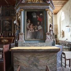
Retable du pilier sud de l'église Notre-Dame-du-Mont-Harou de Moutiers-au-Perche
7.8 kmReviews
Visited this place? Tap the stars to rate it and share your experience / photos with the community! Try now! You can cancel it anytime.
Discover hidden gems everywhere you go!
From secret cafés to breathtaking viewpoints, skip the crowded tourist spots and find places that match your style. Our app makes it easy with voice search, smart filtering, route optimization, and insider tips from travelers worldwide. Download now for the complete mobile experience.

A unique approach to discovering new places❞
— Le Figaro
All the places worth exploring❞
— France Info
A tailor-made excursion in just a few clicks❞
— 20 Minutes