
Canton of Pontarlier, canton of France
Location: Doubs
Inception: March 22, 2015
Capital city: Pontarlier
GPS coordinates: 46.90611,6.35472
Latest update: March 28, 2025 03:48
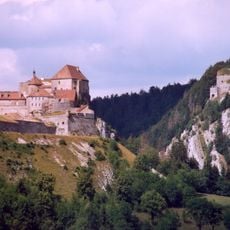
Fort de Joux
4 km
Puits de Jardel
8.9 km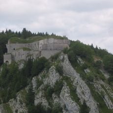
Fort du Larmont inférieur
3.8 km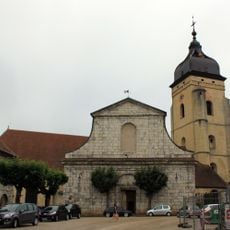
Église Saint-Bénigne
452 m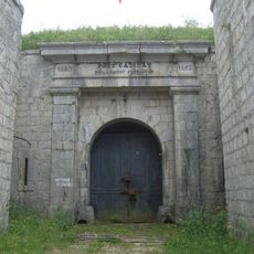
Fort Catinat du Larmont supérieur
3.3 km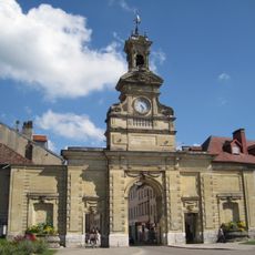
Porte Saint-Pierre
240 m
Mont-calvaire de Sombacour
8.8 km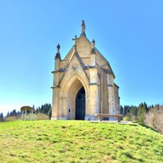
Chapelle de l'Espérance
1.1 km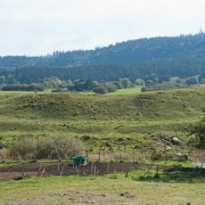
Fort Bachin
11.7 km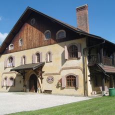
Maison de Monte au Lever
9.5 km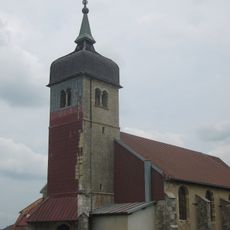
Église Saint-André de Bannans
9.3 km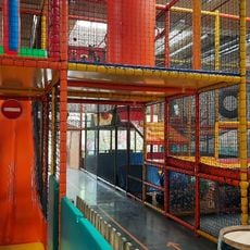
Le Ball Park
1.1 km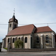
Église Saint-Valère de Goux-les-Usiers
9.4 km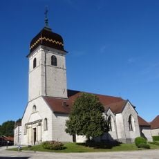
Église Saint-Nicolas de la Rivière-Drugeon
11.4 km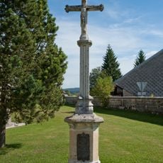
Croix de Bouverans
12.4 km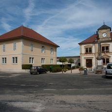
Mairie-école de Goux-les-Usiers
9.3 km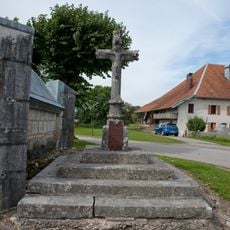
Croix de la chapelle de Goux-les-Usiers
9.5 km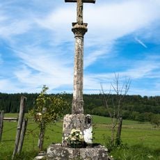
Croix Maury
4.5 km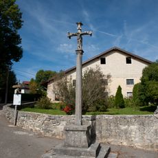
Croix de La Planée
9.1 km
Croix de chemin de Dommartin
4.1 km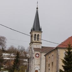
Église Sainte-Foy des Alliés
8.5 km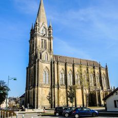
Église de Doubs
2.4 km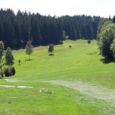
Golf des Étraches
5.1 km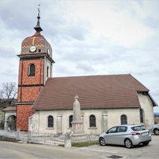
Église de l'Assomption de La Planée
9.2 km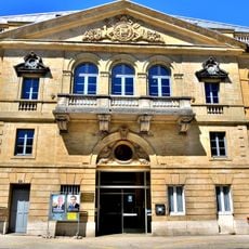
Théâtre Bernard Blier
124 m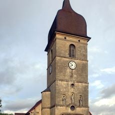
Église Saint-Martin de Dommartin
4.1 km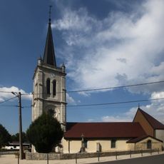
Église Sainte-Brigide
4.6 km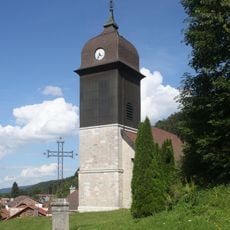
Église Saint-Gervais-Saint-Protais de Sombacour
8.8 kmReviews
Visited this place? Tap the stars to rate it and share your experience / photos with the community! Try now! You can cancel it anytime.
Discover hidden gems everywhere you go!
From secret cafés to breathtaking viewpoints, skip the crowded tourist spots and find places that match your style. Our app makes it easy with voice search, smart filtering, route optimization, and insider tips from travelers worldwide. Download now for the complete mobile experience.

A unique approach to discovering new places❞
— Le Figaro
All the places worth exploring❞
— France Info
A tailor-made excursion in just a few clicks❞
— 20 Minutes