
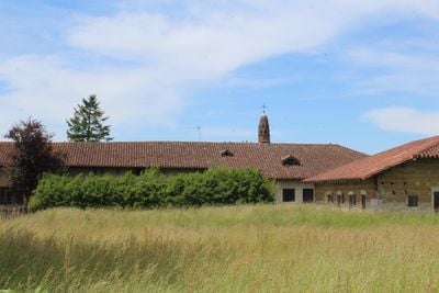
Ferme du Tiret, human settlement in France
Location: Foissiat
Address: Le Tiret
GPS coordinates: 46.36730,5.16697
Latest update: June 23, 2025 15:04
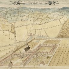
Montmerle Charterhouse
4.2 km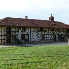
Ferme de Sougey
5.4 km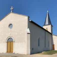
Église Saint-Martin d'Étrez
3.9 km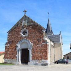
Église Saint-Marc de Malafretaz
5.1 km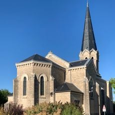
Église Saint-Barthélemy de Montrevel-en-Bresse
4.5 km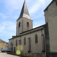
Église Saint-Denis de Foissiat
687 m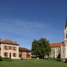
Église Notre-Dame de l'Assomption de Jayat
3.7 km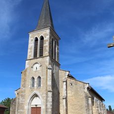
Église Saint-André de Lescheroux
4.8 km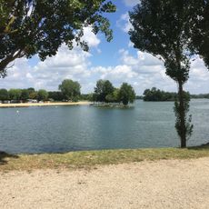
La Plaine Tonique
3.7 km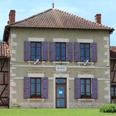
Mairie de Jayat
3.7 km
Town hall of Montrevel-en-Bresse
4.4 km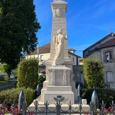
War memorial of Montrevel-en-Bresse
4.6 km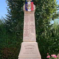
War memorial of Étrez
4 km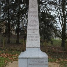
Monument of Montrevel-en-Bresse Liberation
4.3 km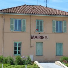
Town hall of Malafretaz
5.2 km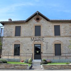
Mairie de Lescheroux
4.8 km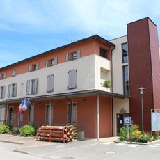
Mairie de Foissiat
655 m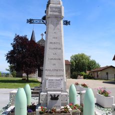
War memorial of Malafretaz
5.2 km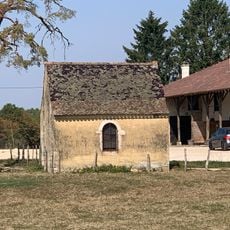
Chapelle Saint-Garadeux de Loëze
4.4 km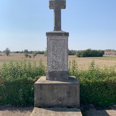
War memorial of Cemetery of Jayat
4 km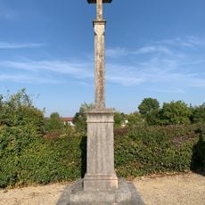
Cemetery cross of Malafretaz
5.3 km
Town hall of Étrez
3.9 km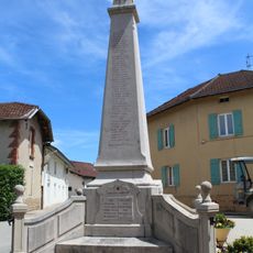
War memorial of Foissiat
668 m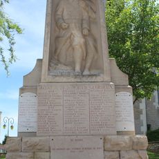
War memorial of Jayat
3.7 km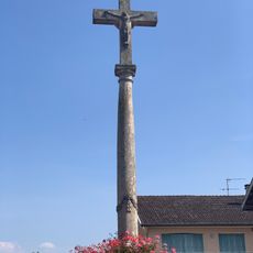
Croix du Jubilé de 1830
4.8 km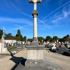
Croix du cimetière de Montrevel-en-Bresse
4.6 km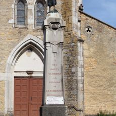
War memorial of Lescheroux
4.8 km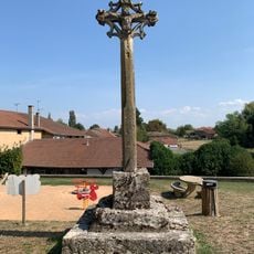
Croix de l'Église de Lescheroux
4.7 kmReviews
Visited this place? Tap the stars to rate it and share your experience / photos with the community! Try now! You can cancel it anytime.
Discover hidden gems everywhere you go!
From secret cafés to breathtaking viewpoints, skip the crowded tourist spots and find places that match your style. Our app makes it easy with voice search, smart filtering, route optimization, and insider tips from travelers worldwide. Download now for the complete mobile experience.

A unique approach to discovering new places❞
— Le Figaro
All the places worth exploring❞
— France Info
A tailor-made excursion in just a few clicks❞
— 20 Minutes