Canton of l'Albret, canton of France
Location: Lot-et-Garonne
Inception: March 22, 2015
Capital city: Nérac
GPS coordinates: 44.13611,0.33944
Latest update: June 10, 2025 04:17
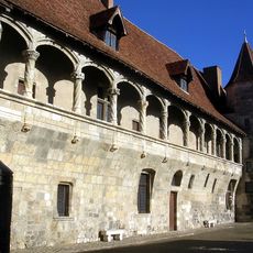
Château de Nérac
103 m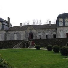
Château de Trenqueléon
8.2 km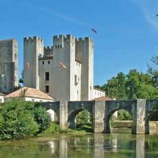
Moulin d'Henry IV
5.5 km
Parc de la Garenne
212 m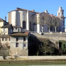
Église Saint-Nicolas de Nérac
80 m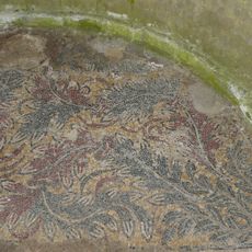
Ruines romaines de Nérac
309 m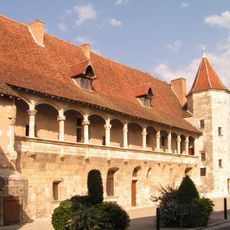
Château-musée Henri IV
113 m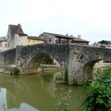
Vieux pont sur la Baïse
198 m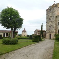
Château de Fréchou
5.8 km
Lud'O Parc
718 m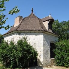
Pavillon des Bains du Roi
362 m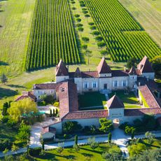
Château de Mazelières
6.3 km
Château de Barbaste
5.6 km
Maison de Sully
254 m
Pont roman de Barbaste
5.5 km
Enceinte et tours de Vianne
7 km
Temple protestant de Nérac
337 m
Église et cimetière de Vianne
7 km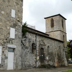
Établissement templier de Puy Fort Éguille
4.5 km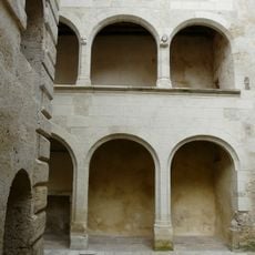
Maison des Conférences de Nérac
39 m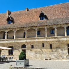
Château de Nérac
122 m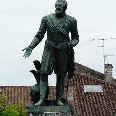
Statue of Henry IV
216 m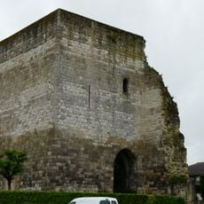
Tour d'Espiens
4.8 km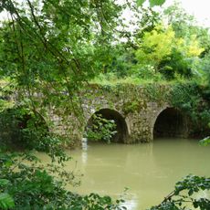
Pont de Tauziète
3.9 km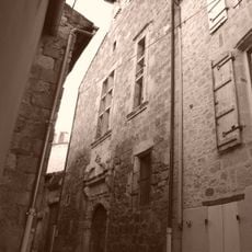
Mairerie de Nérac
70 m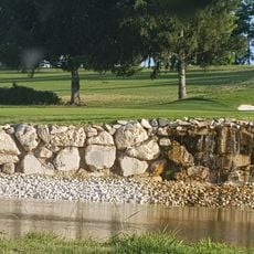
Golf d'Albret
7.3 km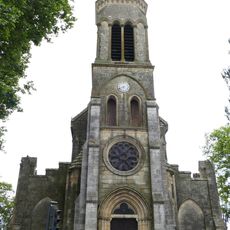
Église Notre-Dame de Barbaste
5.6 km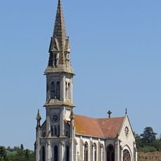
Église Notre-Dame de Nérac
395 mReviews
Visited this place? Tap the stars to rate it and share your experience / photos with the community! Try now! You can cancel it anytime.
Discover hidden gems everywhere you go!
From secret cafés to breathtaking viewpoints, skip the crowded tourist spots and find places that match your style. Our app makes it easy with voice search, smart filtering, route optimization, and insider tips from travelers worldwide. Download now for the complete mobile experience.

A unique approach to discovering new places❞
— Le Figaro
All the places worth exploring❞
— France Info
A tailor-made excursion in just a few clicks❞
— 20 Minutes