
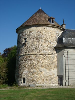
Taubenturm, Turm in Brou-sur-Chantereine
Location: Brou-sur-Chantereine
GPS coordinates: 48.88849,2.63236
Latest update: March 10, 2025 02:15
Chelles Abbey
3.3 km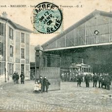
Musée des transports urbains, interurbains et ruraux
2.5 km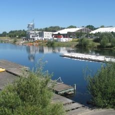
Île de loisirs de Vaires-Torcy
2.9 km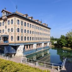
Saulnier mill
3.5 km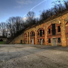
Fort de Chelles
2.8 km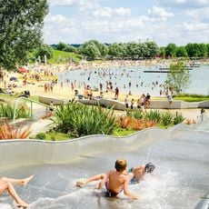
Ile de Loisirs de Vaires - Torcy : l’espace baignade
2.9 km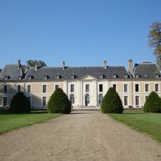
Château de Brou-sur-Chantereine
81 m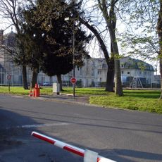
Castle of Pomponne
3.6 km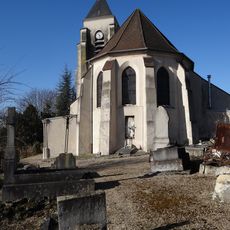
Église Saint-André de Chelles
2.7 km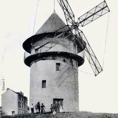
Sempin Windmill
3.6 km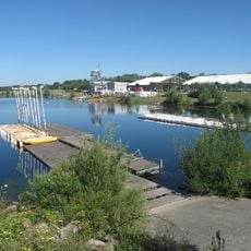
Île de Vaires
3.3 km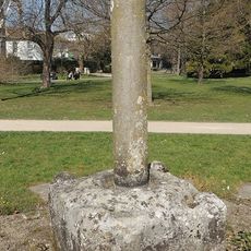
Pierre de Chilpéric
3.5 km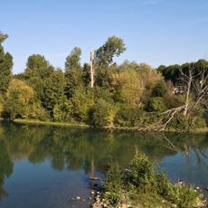
Réserve naturelle régionale des îles de Chelles
3.6 km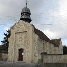
Église Saint-Baudile de Brou-sur-Chantereine
645 m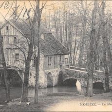
Moulin de Douvres
3.5 km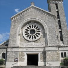
Église Sainte-Jeanne d'Arc de Vaires-sur-Marne
1.6 km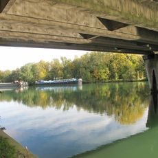
Pont de Vaires
3.1 km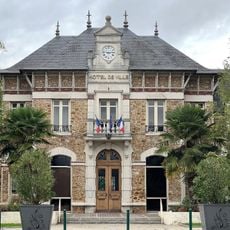
Town hall of Vaires-sur-Marne
1.8 km
Town hall of Le Pin
3 km
Golf de Vaires-Torcy
3.3 km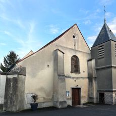
Église Saint-Marcel de Villevaudé
3.5 km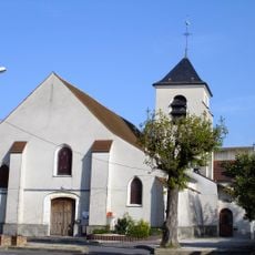
Église Saint-Antoine du Pin
2.9 km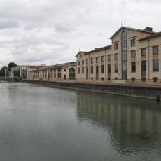
Menier chocolate factory
3.6 km
Town hall of Brou-sur-Chantereine
686 m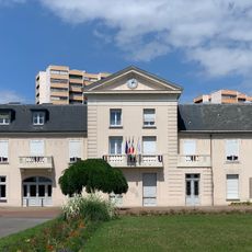
Town hall of Chelles
3.3 km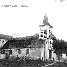
Ancienne église Sainte-Agathe de Vaires-sur-Marne
2.3 km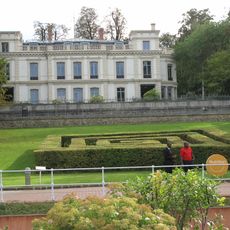
Petit Château de Noisiel
3.7 km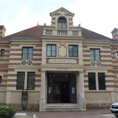
Former town hall of Noisiel
3.6 kmReviews
Visited this place? Tap the stars to rate it and share your experience / photos with the community! Try now! You can cancel it anytime.
Discover hidden gems everywhere you go!
From secret cafés to breathtaking viewpoints, skip the crowded tourist spots and find places that match your style. Our app makes it easy with voice search, smart filtering, route optimization, and insider tips from travelers worldwide. Download now for the complete mobile experience.

A unique approach to discovering new places❞
— Le Figaro
All the places worth exploring❞
— France Info
A tailor-made excursion in just a few clicks❞
— 20 Minutes