
Puycapel, commune in France
Location: Cantal
Location: arrondissement of Aurillac
Inception: January 1, 2019
Shares border with: Saint-Antoine, Leynhac, Saint-Constant-Fournoulès, Saint-Santin, Cassaniouze, Sénezergues, Marcolès, Conques-en-Rouergue
GPS coordinates: 44.71760,2.35700
Latest update: June 14, 2025 15:15
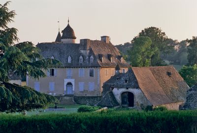
Château de Selves
8.3 km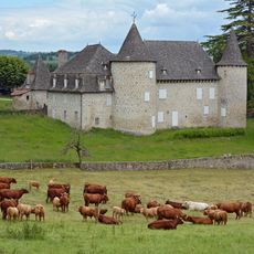
Château d'Entraygues
9.3 km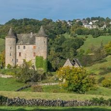
Château de Réghaud
5.1 km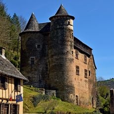
Château de Vieillevie
9.5 km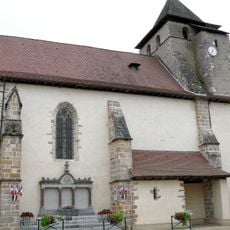
Saint-Cesáreo de Maurs
12.6 km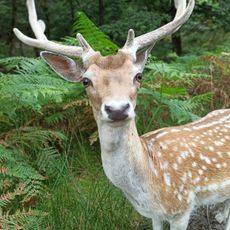
La Vallée des Daims
7 km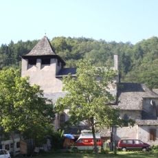
Église Saint-Parthem de Saint-Parthem
10.7 km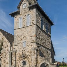
Église Notre-Dame de la Purification de Cassaniouze
3.7 km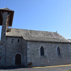
Église de l'Assomption de Sansac-Veinazès
7.6 km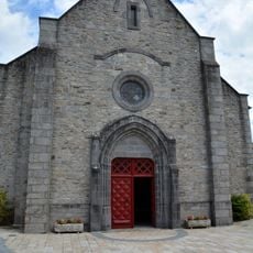
Église Saint-Martin de Marcolès
7.2 km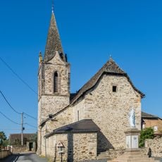
Church in Saint-Julien-de-Piganiol
10.9 km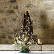
Vierge à l'enfant
12.6 km
Église Saint-Projet
7.7 km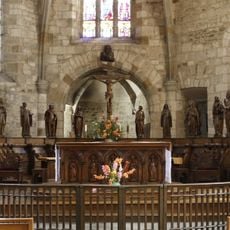
Choir fence in Maurs
12.6 km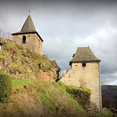
Saint-Roch Church in La Vinzelle
8.3 km
Parish Church of Saint-Sulpice
9.8 km
Église Notre-Dame de Saint-Santin-de-Maurs
13.4 km
Église Saint-Pierre de Saint-Santin
13.4 km
Église Saint-Laurent de Vieillevie
9.5 km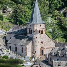
Église Saint-Pierre de Grand-Vabre
9.7 km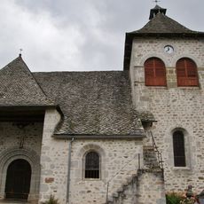
Église Saint-Justin de Junhac
7.6 km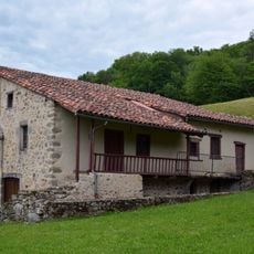
Prieuré de Notre-Dame-du-Pont
8.9 km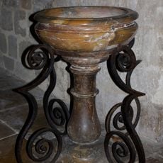
Stoup in Maurs, Cantal department of France
12.6 km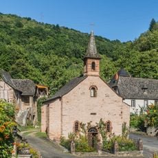
Chapelle Notre-Dame de la Nativité
9.8 km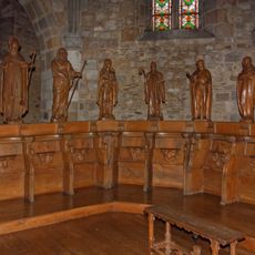
Choir stalls, Saint Caesarius Church in Maurs
12.6 km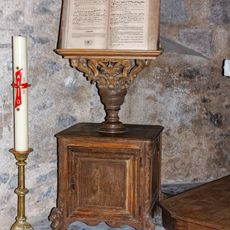
Lectern for offices, Saint Caeserius Church of Maurs
12.6 km
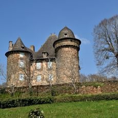
Château de la Mothe
1.7 km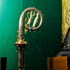
Caesarius of Arles pastoral crozier
12.6 kmReviews
Visited this place? Tap the stars to rate it and share your experience / photos with the community! Try now! You can cancel it anytime.
Discover hidden gems everywhere you go!
From secret cafés to breathtaking viewpoints, skip the crowded tourist spots and find places that match your style. Our app makes it easy with voice search, smart filtering, route optimization, and insider tips from travelers worldwide. Download now for the complete mobile experience.

A unique approach to discovering new places❞
— Le Figaro
All the places worth exploring❞
— France Info
A tailor-made excursion in just a few clicks❞
— 20 Minutes