
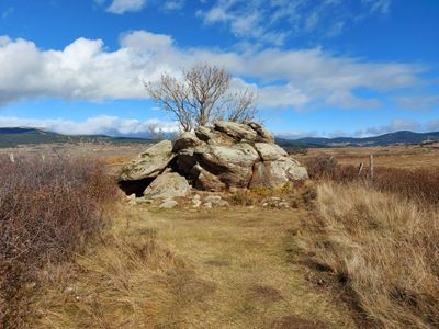
Hàbitat del Pla del Bac, Hàbitat prehistòric del terme d'Eina, a l'Alta Cerdanya (Catalunya del Nord)
Location: Eyne
Elevation above the sea: 1,612.1 m
GPS coordinates: 42.47314,2.07372
Latest update: March 11, 2025 22:11
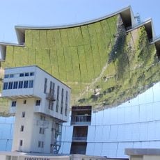
Odeillo solar furnace
4.3 km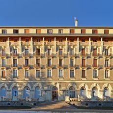
Grand Hôtel de Font-Romeu
4.6 km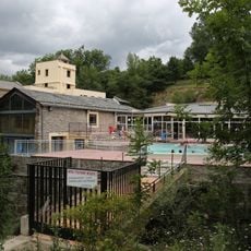
Banys de Llo
2.6 km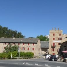
Ermitage Notre-Dame de Font-Romeu
4.9 km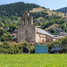
Church of Saint Fructuosus of Llo
2.3 km
Edifici de les cases solars Trombe-Michel
4 km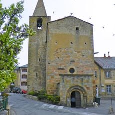
Église Saint-Martin d'Odeillo
4.2 km
Ethnobotanical Garden of Eyne
541 m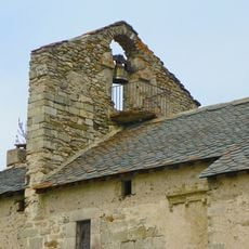
Église Sainte-Colombe de Vià
3.5 km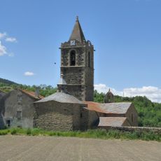
Chapelle de la Vierge
4.9 km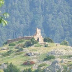
Chapelle Saint-Félix du Château
2.6 km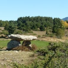
La Borda dolmen
1.4 km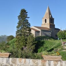
Église Sainte-Eulalie de Bolquère
3.2 km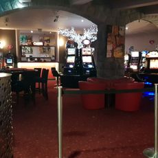
Casino
4.5 km
Église Saint-Michel d'Eyne
581 m
Église Sainte-Eugénie de Saillagouse
3.3 km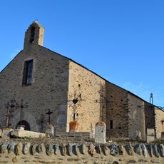
Église Saint-Génis d'Err
4.9 km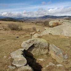
Dolmen de lo Pou
1 km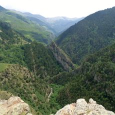
Gorges del Segre
3 km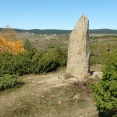
Menhir del Molí d'Eina
516 m
Castell de Llo
2.5 km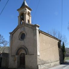
Chapelle Saint-Antoine-Abbé de Ro
4.8 km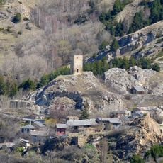
Torre del Vacaró
2.1 km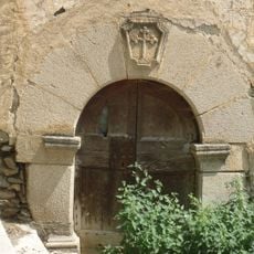
Chapelle Saint-Gabriel de Girvés
2.6 km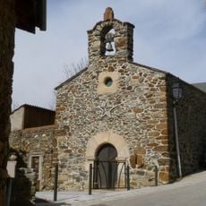
Chapelle Sainte-Eugénie de Vedrinyans
3.5 km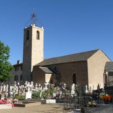
Église Saint-Pierre de Saint-Pierre-dels-Forcats
4.4 km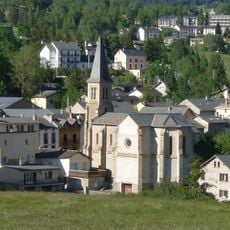
Église Notre-Dame-de-l'Assomption de La Cabanasse
4.5 km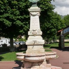
Monument to Alexandre Oliva
3.3 kmVisited this place? Tap the stars to rate it and share your experience / photos with the community! Try now! You can cancel it anytime.
Discover hidden gems everywhere you go!
From secret cafés to breathtaking viewpoints, skip the crowded tourist spots and find places that match your style. Our app makes it easy with voice search, smart filtering, route optimization, and insider tips from travelers worldwide. Download now for the complete mobile experience.

A unique approach to discovering new places❞
— Le Figaro
All the places worth exploring❞
— France Info
A tailor-made excursion in just a few clicks❞
— 20 Minutes