
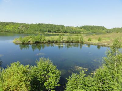
Spoil tips 143 and 143A, part of World Heritage site 'northern French coal mining region' in France
Location: Pecquencourt
Location: Lallaing
Location: Flines-lez-Raches
Location: Marchiennes
Part of: northern French coal mining region
GPS coordinates: 50.39080,3.20030
Latest update: March 6, 2025 04:48
Anchin Abbey
1.6 km
Château de Montmorency
2.8 km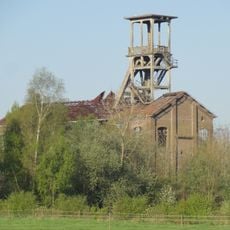
Fosse n° 2 des mines de Flines
3.1 km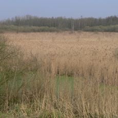
Réserve naturelle régionale de la tourbière de Vred
3 km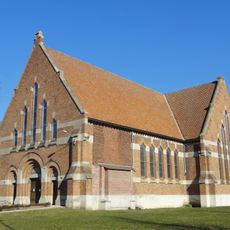
Église Saint-Charles de Montigny-en-Ostrevent
2.1 km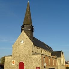
Église Saint-Gilles de Pecquencourt
1.8 km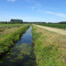
Traitoire
3.6 km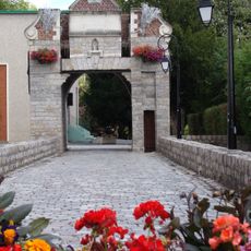
Château des comtes de Lallaing
2.2 km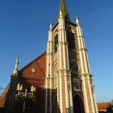
Église Saint-Sarre de Vred
2.3 km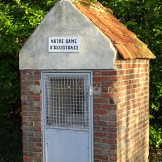
Chapelle Notre-Dame-d'Assistance de Vred
2.7 km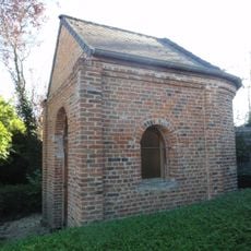
Chapelle Saint-Roch de Vred
2.3 km
Chapelle Saint-Éloi de Vred
2.3 km
Plage des Argales
3.7 km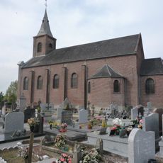
Église Saint-Nicolas de Montigny-en-Ostrevent
3.1 km
Église Notre-Dame-de-Pellevoisin de Flines-lez-Raches
3.1 km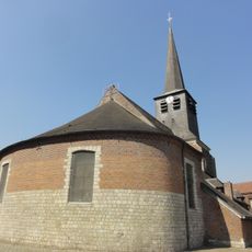
Église Sainte-Aldegonde de Lallaing
2.3 km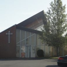
Église Saint-Jean-Baptiste d'Anhiers
3.6 km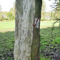
Borne de Quéviron
893 m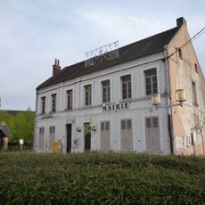
Mairie de Vred
2.2 km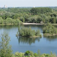
Terril n° 144, Rieulay
3.4 km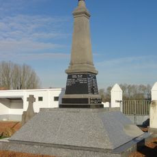
Monument aux morts de Vred
2 km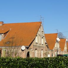
Cités de Montigny et du Moucheron
2.1 km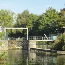
Écluse de Lallaing
2.1 km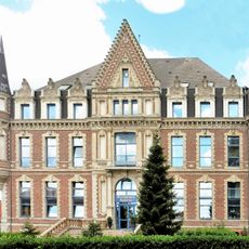
Château de Lambrecht
2.3 km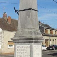
Monument aux morts d'Anhiers
3.7 km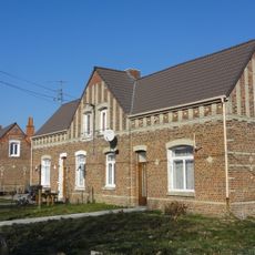
Cités Sainte-Marie, Lemay et de Pecquencourt
2.5 km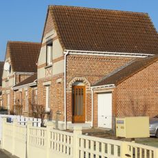
Cité Barrois
2.1 km
Monument aux morts de Lallaing
2.3 kmReviews
Visited this place? Tap the stars to rate it and share your experience / photos with the community! Try now! You can cancel it anytime.
Discover hidden gems everywhere you go!
From secret cafés to breathtaking viewpoints, skip the crowded tourist spots and find places that match your style. Our app makes it easy with voice search, smart filtering, route optimization, and insider tips from travelers worldwide. Download now for the complete mobile experience.

A unique approach to discovering new places❞
— Le Figaro
All the places worth exploring❞
— France Info
A tailor-made excursion in just a few clicks❞
— 20 Minutes