
Vallée Jauberton, protected area in France
Location: Fontainebleau
Inception: 2014
GPS coordinates: 48.34497,2.67976
Latest update: March 4, 2025 03:14

Chinese Museum
6.3 km
Château de Bourron
1.3 km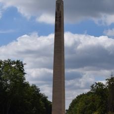
Marie-Antoinette obelisk
5.9 km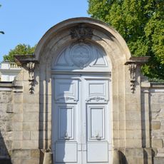
Hôtel de Pompadour
6 km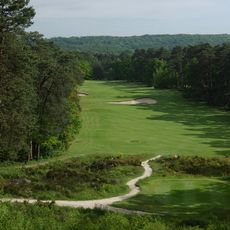
Golf de Fontainebleau
5.5 km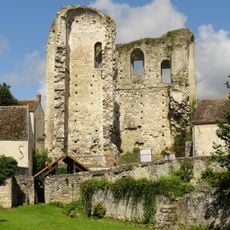
Ganne Tower
3.3 km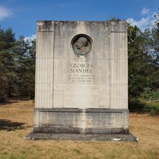
Monument to Georges Mandel
4 km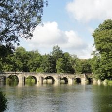
Bridge of Grez-sur-Loing
3.4 km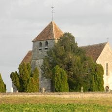
Saint Martin Church of La Genevraye
5.9 km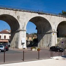
Montigny Viaduct
4.9 km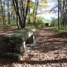
Roi Table
5.9 km
Quartier du Carrousel
6 km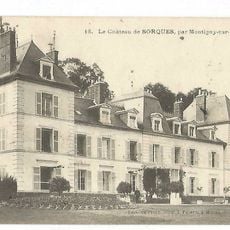
Castle of Sorques
6.2 km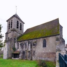
Église Saint-Pierre-et-Saint-Paul de Montigny-sur-Loing
5.1 km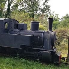
Tacot des Lacs
4.1 km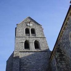
Église Saint-Étienne de Villiers-sous-Grez
3.9 km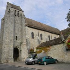
Église Notre-Dame et Saint-Laurent de Grez-sur-Loing
3.4 km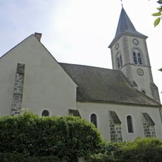
Saint Severus Church of Bourron-Marlotte
1.6 km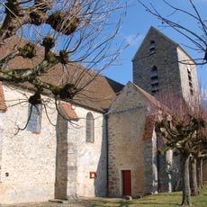
Saint Martin Church of Recloses
2.8 km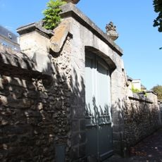
Vieux Logis
6 km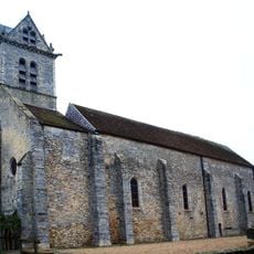
Saint Martin Church of Ury
5.8 km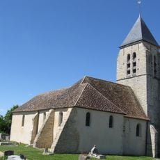
Église Saint-Étienne
6.1 km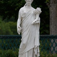
La Paix, Château de Fontainebleau
6.3 km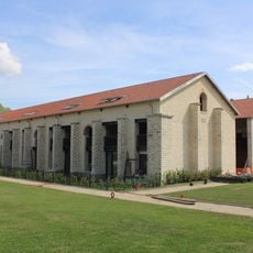
Halles à fourrage de Magenta
6.3 km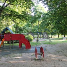
Lilas Garden Square
6.1 km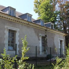
École d'application d'artillerie de Fontainebleau
6.1 km
Immeuble, 162bis rue du Général-Leclerc
2.8 km
Lilas Residence
6.1 kmReviews
Visited this place? Tap the stars to rate it and share your experience / photos with the community! Try now! You can cancel it anytime.
Discover hidden gems everywhere you go!
From secret cafés to breathtaking viewpoints, skip the crowded tourist spots and find places that match your style. Our app makes it easy with voice search, smart filtering, route optimization, and insider tips from travelers worldwide. Download now for the complete mobile experience.

A unique approach to discovering new places❞
— Le Figaro
All the places worth exploring❞
— France Info
A tailor-made excursion in just a few clicks❞
— 20 Minutes