
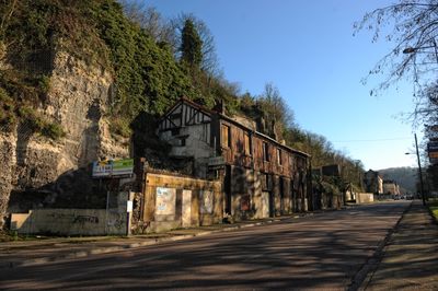
Route de Bonsecours, route de Rouen, en France
Location: Rouen
Part of: Rouen yol ağı
Shares border with: Rue Basse, Avenue Aristide-Briand
GPS coordinates: 49.43188,1.10941
Latest update: September 23, 2025 12:57
Matilda Bridge
447 m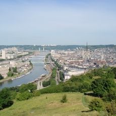
Île Lacroix
442 m
Place Saint-Marc
972 m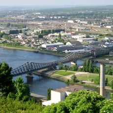
Viaduc d'Eauplet
588 m
Pont Pierre-Corneille
1.1 km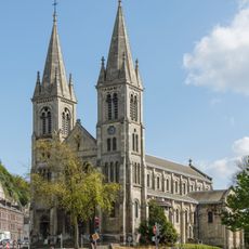
Église Saint-Paul de Rouen
346 m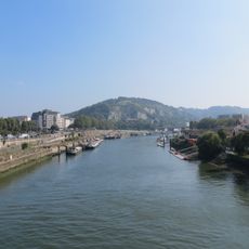
Côte Sainte-Catherine
315 m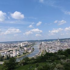
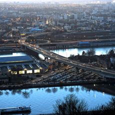
Panorama Rouen Est
194 m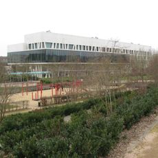
Parc Grammont
1.1 km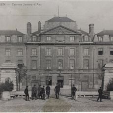
Caserne Jeanne d'Arc
753 m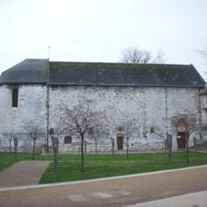
Église Sainte-Catherine de Rouen
1.1 km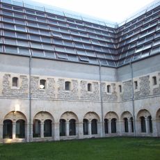
Couvent des Pénitents, Rouen
1.2 km
Quai de Paris
927 m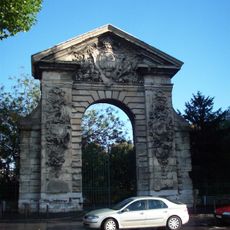
Porte Guillaume-Lion
977 m
Cours la Reine
766 m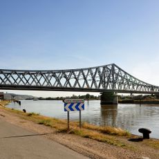
Quai du Pré-aux-Loups
290 m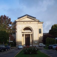
Chapelle Notre-Dame de la Charité
947 m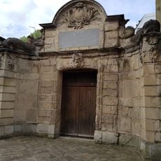
Aqueduc de Carville
1.2 km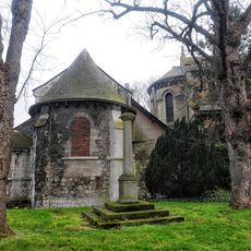
Ancienne église Saint-Paul de Rouen
342 m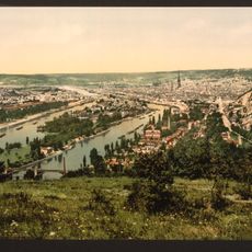
Île Brouilly
472 m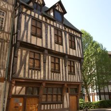
Maison des Quatre-fils-Aymon
1.2 km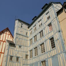
194, 196 rue de Martainville, Rouen
1.2 km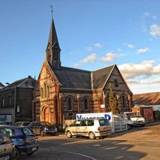
Chapelle Saint-Victrice
832 m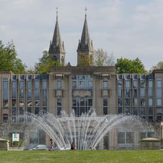
Esplanade du Champ-de-Mars
628 m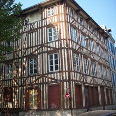
Immeuble, 13, 15 rue Lamauve
1.1 km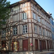
Maison de maître drapier-teinturier
1.1 km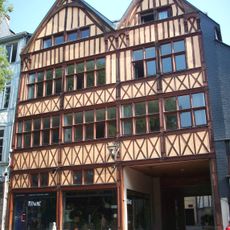
Maison, 198 à 204 rue de Martainville
1.2 km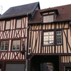
Maison, 188 rue de Martainville
1.1 kmReviews
Visited this place? Tap the stars to rate it and share your experience / photos with the community! Try now! You can cancel it anytime.
Discover hidden gems everywhere you go!
From secret cafés to breathtaking viewpoints, skip the crowded tourist spots and find places that match your style. Our app makes it easy with voice search, smart filtering, route optimization, and insider tips from travelers worldwide. Download now for the complete mobile experience.

A unique approach to discovering new places❞
— Le Figaro
All the places worth exploring❞
— France Info
A tailor-made excursion in just a few clicks❞
— 20 Minutes