
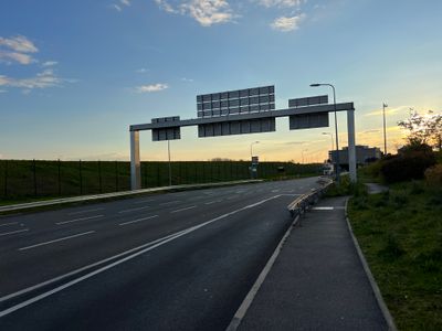
Route de l'Épinette, road in Tremblay-en-France, France
Location: Tremblay-en-France
Part of: réseau viaire de Tremblay-en-France
Shares border with: rue de Paris, rue de Rome
GPS coordinates: 49.00790,2.55595
Latest update: September 23, 2025 12:57
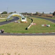
Circuit Carole
4.2 km
Archéa
5.1 km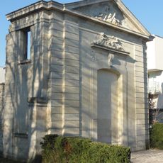
Château des Caramans
2.6 km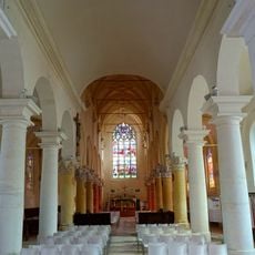
Church of Saint-Médard, Tremblay-en-France
3.2 km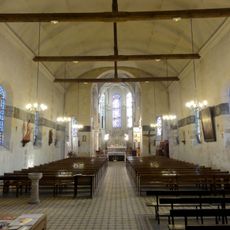
St. Eloi Church
3.1 km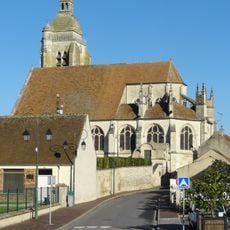
Église Saint-Martin du Mesnil-Amelot
2.9 km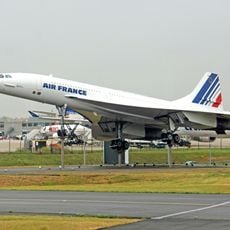
Concorde 215
364 m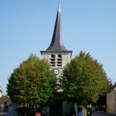
Église Saint-Leu-Saint-Gilles
4.2 km
Golf de Roissy
4.3 km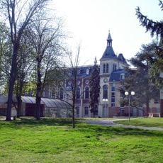
Chapelle de l'hôpital Sainte-Marie de Villepinte
5.2 km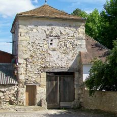
Colombier-porche
5.2 km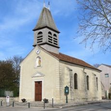
Église Saint-Jean-Baptiste de Mauregard
3.4 km
Square Alphonse Allais
4.7 km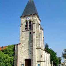
Église Notre-Dame de l'Assomption d'Épiais-lès-Louvres
2.7 km
Square Jodelet
5.1 km
Square Henri Dunant
4.9 km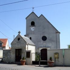
Église Notre-Dame-des-Victoires de Vaudherland
5.1 km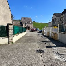
Square Alfred Sisley
4.7 km
Square Sacha Guitry
5 km
Square Paul Verlaine
5 km
Square Jean Mermoz
4.9 km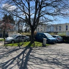
Square Francisque Poulbot
4.9 km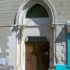
Hôtel-dieu de Louvres
5.1 km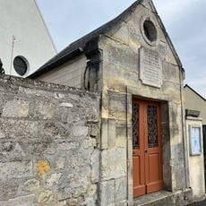
Chapelle Notre-Dame-des-Victoires de Vaudherland
5.1 km
Grange aux dîmes de Tremblay-en-France
3.2 km
Square Paul Signac
4.6 km
Square Jacques Babinet
4.9 km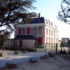
Château des Tournelles
2.9 kmReviews
Visited this place? Tap the stars to rate it and share your experience / photos with the community! Try now! You can cancel it anytime.
Discover hidden gems everywhere you go!
From secret cafés to breathtaking viewpoints, skip the crowded tourist spots and find places that match your style. Our app makes it easy with voice search, smart filtering, route optimization, and insider tips from travelers worldwide. Download now for the complete mobile experience.

A unique approach to discovering new places❞
— Le Figaro
All the places worth exploring❞
— France Info
A tailor-made excursion in just a few clicks❞
— 20 Minutes