
Mali Prefecture, prefecture of Guinea
Location: Labé Region
Shares border with: Koubia Prefecture, Labé Prefecture, Lélouma Prefecture, Gaoual Prefecture, Koundara Prefecture
GPS coordinates: 12.08390,-12.30140
Latest update: March 24, 2025 00:11


Niokolo-Koba National Park
129.6 km
Télimélé
154.1 km
National Park of Upper Niger
289.3 km
Outamba-Kilimi National Park
259.1 km
Gouina Falls
251.2 km
Bassari Country
82 km
Badiar National Park
125.3 km
Dindefelo Falls
31.4 km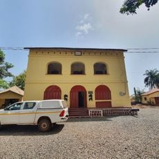
Musée de Boké
252.5 km
Félou Falls
273.4 km
Pinselly Classified Forest
226.2 km
Lake Manantali
243.9 km
Talari Gorges
238.2 km
Stade Régional Saifoullaye Diallo
85.9 km
Kambadaga Falls
122.8 km
Forêt de Dalaba
155.9 km
Kouratier
155.4 km
Eisenbahnbrücke von Kidira
264.7 km
Chute de Ditinn
141.7 km
Straßenbrücke von Kidira
264.2 km
Cascade de Tabouna
231.7 km
Fort de Médine
274.5 km
Stade Bassi Coulibaly
279.5 km
Villa de Dalaba
156.2 km
Case à palabres de Dalaba
156.2 km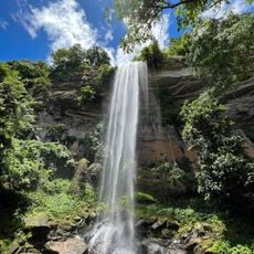
Cascade du Voile de la Mariée
240.1 km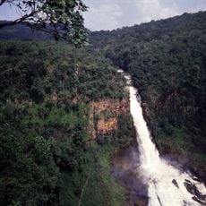
Chuttes de Sala
90.9 km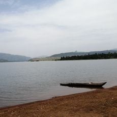
Lac de Samaya
237.5 kmVisited this place? Tap the stars to rate it and share your experience / photos with the community! Try now! You can cancel it anytime.
Discover hidden gems everywhere you go!
From secret cafés to breathtaking viewpoints, skip the crowded tourist spots and find places that match your style. Our app makes it easy with voice search, smart filtering, route optimization, and insider tips from travelers worldwide. Download now for the complete mobile experience.

A unique approach to discovering new places❞
— Le Figaro
All the places worth exploring❞
— France Info
A tailor-made excursion in just a few clicks❞
— 20 Minutes