
Komola-Koura, sub-prefecture and town in Kankan Region, Guinea
Location: Kouroussa Prefecture
GPS coordinates: 11.05000,-10.41667
Latest update: April 14, 2025 14:27

Loma Mansa
216.9 km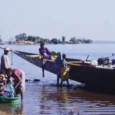
Sélingué Dam
247.5 km
Télimélé
286.4 km
National Park of Upper Niger
65.7 km
Outamba-Kilimi National Park
226.5 km
Bassari Country
315.5 km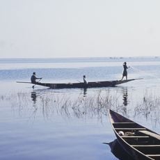
Lake Sélingué
246.5 km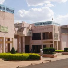
National Library of Mali
315.4 km
Dindefelo Falls
254.3 km
Mine de Siguiri
129 km
Pinselly Classified Forest
169.5 km
Lake Manantali
234.8 km
Talari Gorges
310.1 km
Stade Régional Saifoullaye Diallo
204.6 km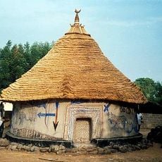
Kamablon of Kangaba
240.3 km
Kambadaga Falls
227 km
Forêt de Dalaba
203.4 km
Kouratier
206.1 km
Musée du Camp Soundiata Keita
142.4 km
Chute de Ditinn
195.1 km
Cascade de Tabouna
284.8 km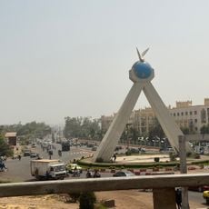
Monument de la paix
315.7 km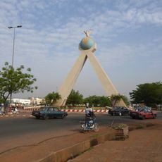
Peace Monument
315.7 km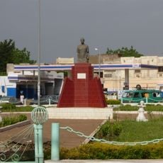
Abdoul Karim Camara
313.7 km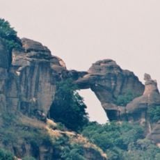
Arch of Kamandjan
272.7 km
Villa de Dalaba
206.2 km
Case à palabres de Dalaba
206.2 km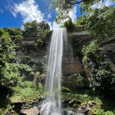
Cascade du Voile de la Mariée
286.3 kmReviews
Visited this place? Tap the stars to rate it and share your experience / photos with the community! Try now! You can cancel it anytime.
Discover hidden gems everywhere you go!
From secret cafés to breathtaking viewpoints, skip the crowded tourist spots and find places that match your style. Our app makes it easy with voice search, smart filtering, route optimization, and insider tips from travelers worldwide. Download now for the complete mobile experience.

A unique approach to discovering new places❞
— Le Figaro
All the places worth exploring❞
— France Info
A tailor-made excursion in just a few clicks❞
— 20 Minutes