Pelimovo Brdo, Berggipfel in Kroatien
Location: Dubrovnik-Neretva County
GPS coordinates: 42.55056,18.41778
Latest update: November 28, 2025 03:35
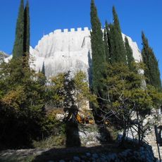
Sokol Fortress
1.2 km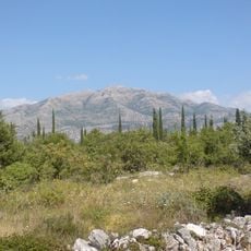
Snježnica i Konavosko polje
6.5 km
St. Barbara, Dubravka
1 km
Ilijin Vrh (tumoy sa bukid sa Krowasya, Dubrovačko-Neretvanska Županija, lat 42,57, long 18,35)
6 km
Triješnikov Vrh
3.6 km
Česmina Glava
694 m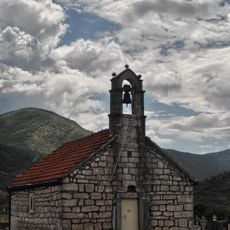
Church of Saint Petka, Grab
6.8 km
Kobija
6 km
Višnički Kuk
5.9 km
Ilijina Kita
7.1 km
Mala Pećina
6.2 km
Veliki Vrh
4.7 km
Kipin (tumoy sa bukid sa Krowasya)
4 km
Ricko Brdo
7.5 km
Kišnik
3.7 km
Topolje (tumoy sa bukid sa Krowasya)
2.6 km
Kosmač (tumoy sa bukid sa Krowasya, Dubrovačko-Neretvanska Županija, lat 42,57, long 18,41)
2.4 km
Goliš
4.5 km
Gradac (tumoy sa bukid sa Krowasya, Dubrovačko-Neretvanska Županija, lat 42,56, long 18,35)
6 km
Velika Pećina (langub sa Montenegro, lat 42,57, long 18,49)
6.5 km
Ilijin Vrh (tumoy sa bukid sa Krowasya, Dubrovačko-Neretvanska Županija, lat 42,50, long 18,39)
6.3 km
Božurni Vrh
5.2 km
Vjetreni mlin
6.6 km
Villa Pridvorka
6.4 km
Stecci Dubravka
1.1 km
Scenic viewpoint
6.3 km
Ruins
1.7 km
Waterfall
5.1 kmReviews
Visited this place? Tap the stars to rate it and share your experience / photos with the community! Try now! You can cancel it anytime.
Discover hidden gems everywhere you go!
From secret cafés to breathtaking viewpoints, skip the crowded tourist spots and find places that match your style. Our app makes it easy with voice search, smart filtering, route optimization, and insider tips from travelers worldwide. Download now for the complete mobile experience.

A unique approach to discovering new places❞
— Le Figaro
All the places worth exploring❞
— France Info
A tailor-made excursion in just a few clicks❞
— 20 Minutes