
Ráckeresztúr, village in Hungary
Location: Martonvásár District
Shares border with: Baracska, Martonvásár, Érd, Százhalombatta, Ercsi
Website: http://rackeresztur.hu
GPS coordinates: 47.27376,18.83476
Latest update: June 1, 2025 02:57
Csepel Island
9.1 km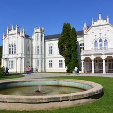
Brunszvik Mansion
6 km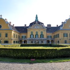
Nagytétény Castle
17.4 km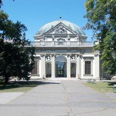
Savoy Castle
14.3 km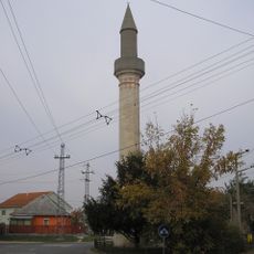
Minaret in Érd
12.5 km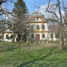
Hauszmann–Gschwindt Mansion, Velence
14.8 km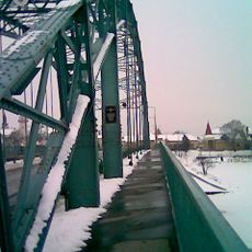
Árpád Bridge in Ráckeve
15.1 km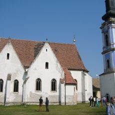
Serbian Kovin Monastery
15 km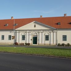
Hungarian Geographical Museum
13.1 km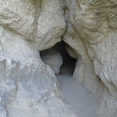
Zelezna Baba Cave
15.6 km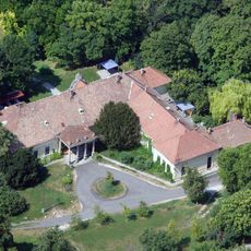
Barcza Mansion, Pusztazámor
15 km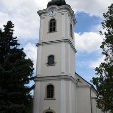
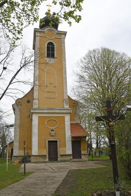
Saint Michael Church in Érd
11.9 km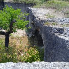
Diósdi Római Cave
17.1 km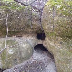
Berki-pusztai No 1 Cavity
13 km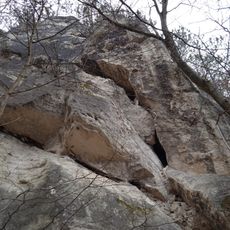
Szilikózis Cave
19.1 km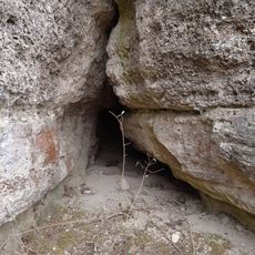
Ötházpusztai No 1 Cave
14.4 km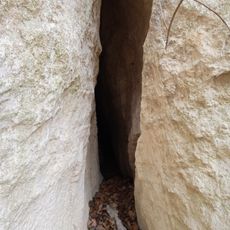
Guillotine Cave
18.6 km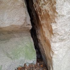
Szinlő Cave
19.1 km
Serbian Orthodox Church in Szigetcsép
10.6 km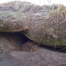
Berki-pusztai No 5 Cavity
13.1 km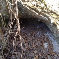
Berki-pusztai No 2 Cavity
13.1 km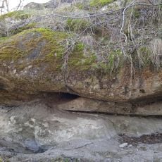
Berki-pusztai No 4 Cavity
13.1 km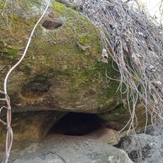
Berki-pusztai No 3 Cavity
13.1 km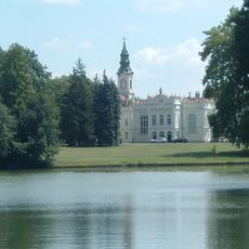
Beethoven Memorial Hall
6.4 km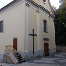
Preĝejo Prezento de Sankta Maria
18.2 km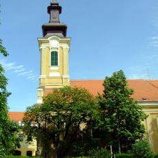
Saint John the Baptist Church in Ráckeve
15.3 km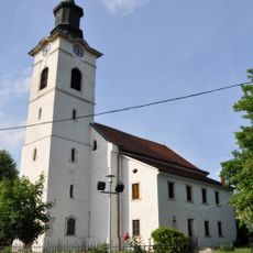
Our Lady church in Nagytétény
17.4 km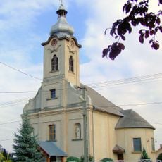
Saint Michael Church in Pereg
16.5 kmReviews
Visited this place? Tap the stars to rate it and share your experience / photos with the community! Try now! You can cancel it anytime.
Discover hidden gems everywhere you go!
From secret cafés to breathtaking viewpoints, skip the crowded tourist spots and find places that match your style. Our app makes it easy with voice search, smart filtering, route optimization, and insider tips from travelers worldwide. Download now for the complete mobile experience.

A unique approach to discovering new places❞
— Le Figaro
All the places worth exploring❞
— France Info
A tailor-made excursion in just a few clicks❞
— 20 Minutes