
Tarnavidéki Protected Landscape Area
Location: Heves County
Location: Nógrád County
GPS coordinates: 48.11877,20.14084
Latest update: March 6, 2025 08:50
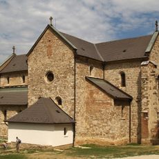
Cistercian Abbey of Bélapátfalva
18.4 km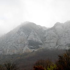
Bél-kő
19.2 km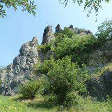
Hajnáčka Castle
17.7 km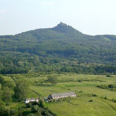
Karancs-Medves Landscape Protection Area
19.9 km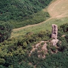
Kanázs Castle
20.2 km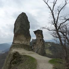
Friar & Nun Rocks
20.2 km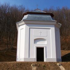
Saint Anne Chapel, Bélapátfalva
19.2 km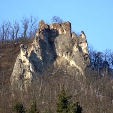
Törökasztal
20.2 km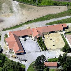
Szilvásvárad state stud
18.6 km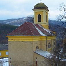
Church of the Nativity of Saint John the Baptist, Szarvaskő
20.3 km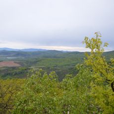
Pohanský hrad
18.6 km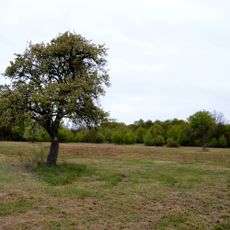
Pohansky hrad
18.7 km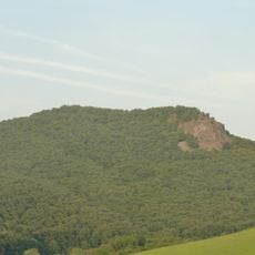
Steblova skala
18.7 km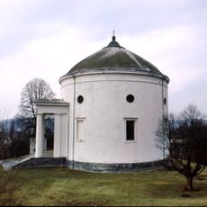
Round Church, Szilvásvárad
18.6 km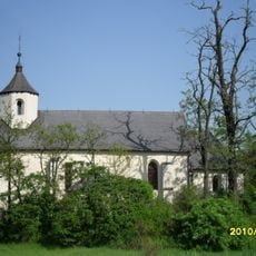
Saints Simon and Jude Church, Szentsimon
14.2 km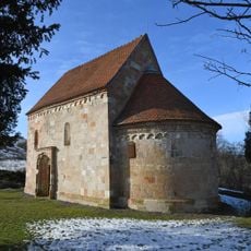
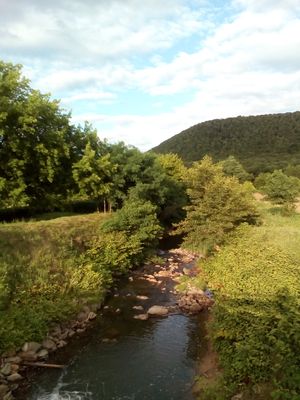
Our Lady of Hungary Church in Váraszó
7 km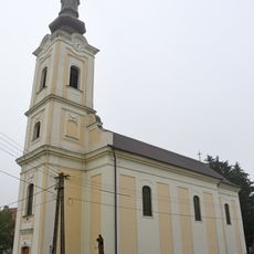
Saint Nicholas church in Sajóvárkony
18.1 km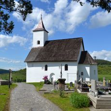
Church of St. Abdon and Sennen
15.1 km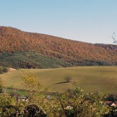
Ragáč
16.5 km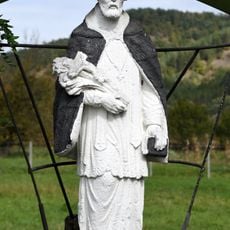
Statue of John of Nepomuk
15.5 km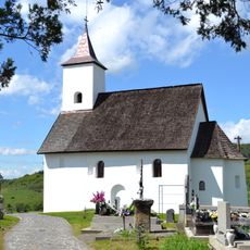
Kostol sv. Alžbety
15.1 km
Starý kostol s cintorínom, cintorín príkostolný
11.5 km
Starý kostol s cintorínom, kostol zaniknutý
11.5 km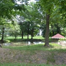
Kalvínsky kostol s parkom, park
19.8 km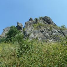
Hrad Hajnáčka, palác hradný
17.7 km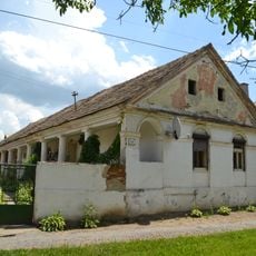
Usadlosť
17.6 km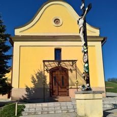
Kaplnka sv. Štefana
15.9 km
Szilassyovský, Gömöryovský k. , kaštieľ
20.1 kmReviews
Visited this place? Tap the stars to rate it and share your experience / photos with the community! Try now! You can cancel it anytime.
Discover hidden gems everywhere you go!
From secret cafés to breathtaking viewpoints, skip the crowded tourist spots and find places that match your style. Our app makes it easy with voice search, smart filtering, route optimization, and insider tips from travelers worldwide. Download now for the complete mobile experience.

A unique approach to discovering new places❞
— Le Figaro
All the places worth exploring❞
— France Info
A tailor-made excursion in just a few clicks❞
— 20 Minutes