
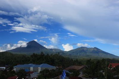
Tombatu, district in Southeast Minahasa Regency, North Sulawesi Province, Indonesia
Location: Southeast Minahasa
Elevation above the sea: 461 m
GPS coordinates: 1.03583,124.64528
Latest update: March 8, 2025 02:28

Bunaken
70.2 km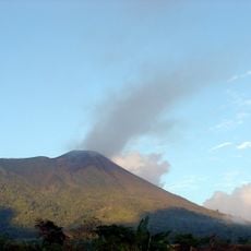
Gamalama
300.1 km
Kentur Lokon
40.4 km
Gunung Soputanpatepangan
12.7 km
Sha'ar Hashamayim Synagogue (Tondano)
42.1 km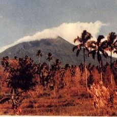
Mount Klabat
63.3 km
Otanaha Fortress
190.1 km
Tangkoko Batuangus Nature Reserve
80.7 km
Mount Mahawu
43 km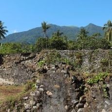
Fort Kastella
298.4 km
Banua Wuhu
251 km
Bogani Nani Wartabone National Park
119.8 km
Fort Kalamata
305.1 km
Mount Tondano
29.8 km
Ruang
162.2 km
Ban Hin Kiong Temple
55.6 km
Mount Tongkoko
81 km
Mount Empung
39.4 km
Pantai Indah Modisi
69.6 km
Maitara
305 km
Tompaluan
40.4 km
Museum dan Monumen Pendaratan Pesawat Ampibi Catalina
191.2 km
Gereja GMIBM Efrata Modisi
69.2 km
Bulud Kanari
68.4 km
Taman Nasional Hutan Mangrove
69.6 km
Modisi Beach
70.2 km
Gereja GPDI Modisi
68.9 km
Gereja KGPM Modisi
69.2 kmReviews
Visited this place? Tap the stars to rate it and share your experience / photos with the community! Try now! You can cancel it anytime.
Discover hidden gems everywhere you go!
From secret cafés to breathtaking viewpoints, skip the crowded tourist spots and find places that match your style. Our app makes it easy with voice search, smart filtering, route optimization, and insider tips from travelers worldwide. Download now for the complete mobile experience.

A unique approach to discovering new places❞
— Le Figaro
All the places worth exploring❞
— France Info
A tailor-made excursion in just a few clicks❞
— 20 Minutes