
Dampelas, district in Donggala Regency, Central Sulawesi Province, Indonesia
Location: Donggala
Elevation above the sea: 104 m
GPS coordinates: 0.37639,119.97833
Latest update: April 3, 2025 12:58
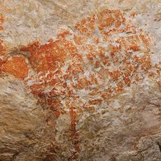
Lubang Jeriji Saléh
310.2 km
Lore Lindu National Park
212.3 km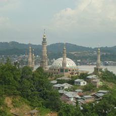
Samarinda Islamic Center Mosque
332.9 km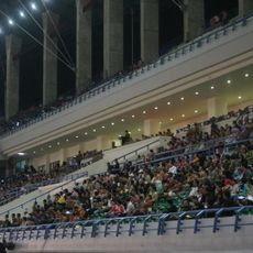
Palaran Stadium
334.5 km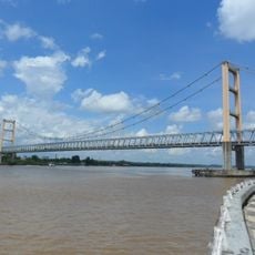
Kutai Kartanegara Bridge
343.6 km
Kepulauan Togean National Park
237.4 km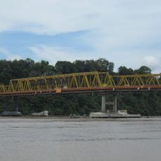
Mahakam Bridge
333.6 km
Kutai National Park
301.9 km
Otanaha Fortress
337.8 km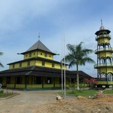
Shiratal Mustaqiem Mosque
329.9 km
Palu IV Bridge
141.1 km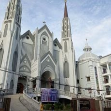
St. Mary's Cathedral, Samarinda
330.4 km
Floating Mosque of Palu
141 km
Colo
191.3 km
Tanjung Bara (East Kalimantan port)
254.3 km
Pokekea Megalithic Site
231.7 km
Pantai Kampung Nelayan
138.6 km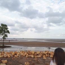
Kenyamukan Beach
264.5 km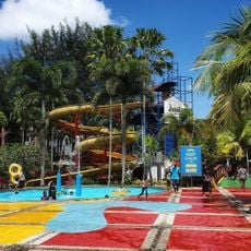
Jessica Water Park
334.8 km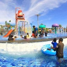
Kenari Waterpark
279 km
Rumah Katu Marine Park
203.4 km
Madale Beach
214.3 km
Sintuwu Maroso Square
215.2 km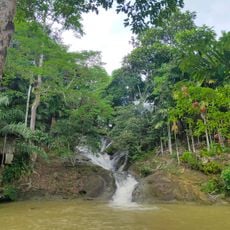
Air Terjun Pinang Seribu
325.9 km
Museum dan Monumen Pendaratan Pesawat Ampibi Catalina
336.5 km
Sekerat Beach
247.8 km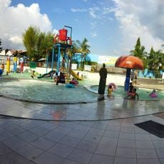
Bumi Sempaja Waterpark
326.2 km
Baywalk Citraland Palu
134.9 kmReviews
Visited this place? Tap the stars to rate it and share your experience / photos with the community! Try now! You can cancel it anytime.
Discover hidden gems everywhere you go!
From secret cafés to breathtaking viewpoints, skip the crowded tourist spots and find places that match your style. Our app makes it easy with voice search, smart filtering, route optimization, and insider tips from travelers worldwide. Download now for the complete mobile experience.

A unique approach to discovering new places❞
— Le Figaro
All the places worth exploring❞
— France Info
A tailor-made excursion in just a few clicks❞
— 20 Minutes