
Huta Dangka, village in Mandailing Natal Regency, North Sumatra, Indonesia
Location: Huta Bargot
Location: Kotanopan
GPS coordinates: 0.65500,99.75000
Latest update: March 3, 2025 10:21
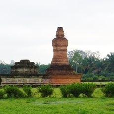
Candi Muara Takus
67.2 km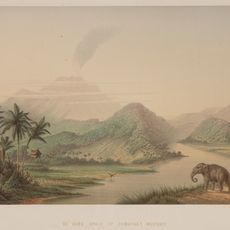
Mount Ophir
69.2 km
Bahal temple
83.6 km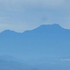
Talamau Mount
69.2 km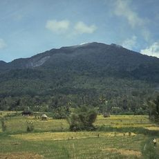
Batang Gadis National Park
28.7 km
Masjid Raya Kajai
58 km
Bawan Tua Mosque
99.8 km
Temple de Portibi
85.3 km
Surau Tuanku Pensiun
58.1 km
Surau Lama Kesultanan Parit Batu
83.2 km
Masjid Al-Abror Lubuk Gobing
44.4 km
Masjid Nurul Hikmah Surau Lakuak
107.8 km
Masjid Suhada Kayu Pasak
94.1 km
Masjid Akbar
95.6 km
Syekh Muhammad Syaid Mosque
91.4 km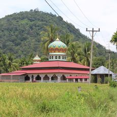
Al-Ihsan Limo Koto Mosque
93.1 km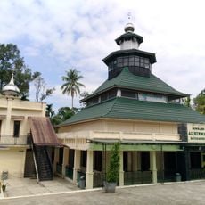
Masjid Al-Hikmah Batukambing
101.3 km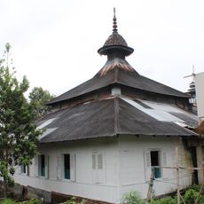
Surau Lubuak Landua
63 km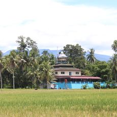
Surau Batu Mosque
93.6 km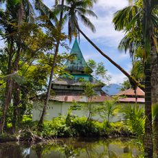
Surau Tinggi Kumpalan
93.6 km
Masjid Suharto
89.6 km
Godang Sungai Naniang Mosque
106 km
Nurul Hikmah Sipisang Mosque
101.4 km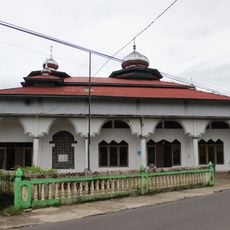
Masjid Mimba Gadang Pasaman
63 km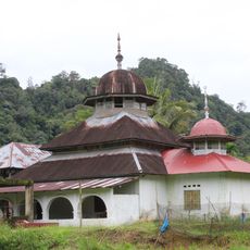
Masjid Simpang Tigo
96 km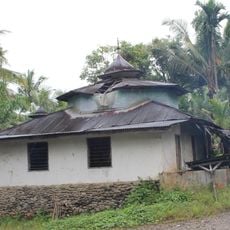
Surau Kampung Bukit
53.8 km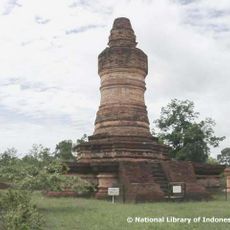
Kompleks Percandian Muara Takus
105.4 km
Batu Talempong
107.7 kmReviews
Visited this place? Tap the stars to rate it and share your experience / photos with the community! Try now! You can cancel it anytime.
Discover hidden gems everywhere you go!
From secret cafés to breathtaking viewpoints, skip the crowded tourist spots and find places that match your style. Our app makes it easy with voice search, smart filtering, route optimization, and insider tips from travelers worldwide. Download now for the complete mobile experience.

A unique approach to discovering new places❞
— Le Figaro
All the places worth exploring❞
— France Info
A tailor-made excursion in just a few clicks❞
— 20 Minutes