
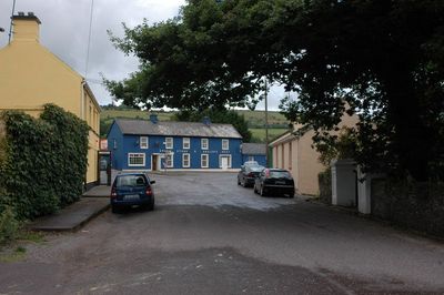
Carrigadrohid, village in County Cork, Ireland
Location: County Cork
Elevation above the sea: 76 m
GPS coordinates: 51.90000,-8.85000
Latest update: May 5, 2025 14:47
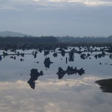
The Gearagh
10.4 km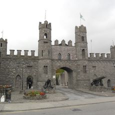
Macroom Castle
7.6 km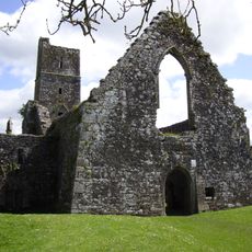
Kilcrea Friary
10.3 km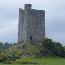
Carrigaphooca Castle
12.3 km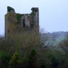
Kilcrea Castle
9.9 km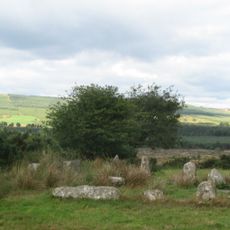
Carrigagulla
10 km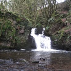
Mullinhassig Wood & Waterfalls, Aghavrin
3.4 km
Dripsey Castle, Carrignamuck
7.2 km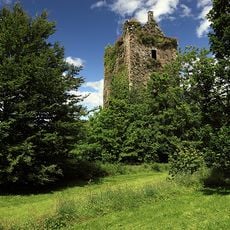
Carrignamuck Tower House
7.3 km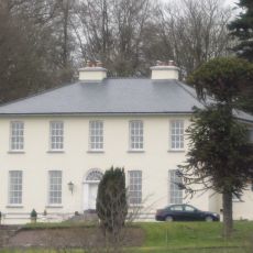
Aghavrin House
4 km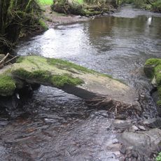
Aghavrin Clapper Bridge
3.3 km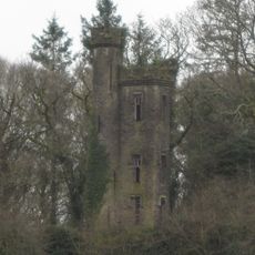
Crooke's Castle, Aghavrin
3.8 km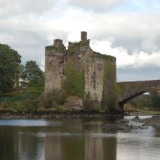
Carrigadrohid Castle
187 m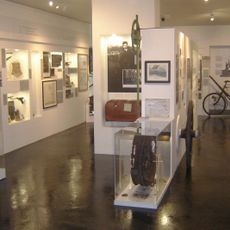
Independence Museum
6.8 km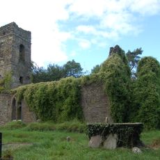
Toberatemple Church
3.3 km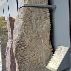
CIIC 81 (Ogham Stone Concept by RAS Macalister)
11.1 km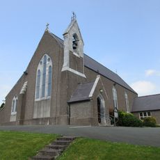
Farran Church
8.1 km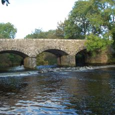
Laney Bridge
6.2 km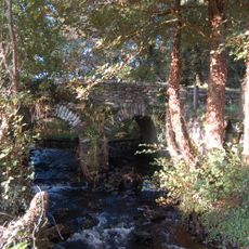
Hanover Hall Bridge
6.9 km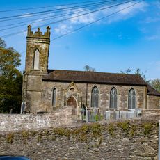
St Colman's Church
7.7 km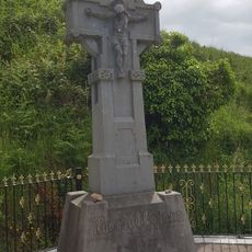
Michael Collins Monument
9.6 km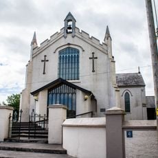
St Patrick's Church
4.3 km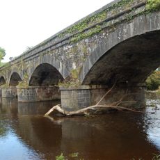
New Bridge
6.2 km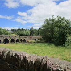
Dripsey Bridge
7.4 km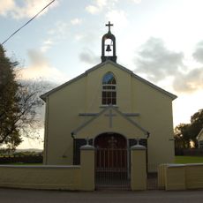
St John the Baptist Church
5.6 km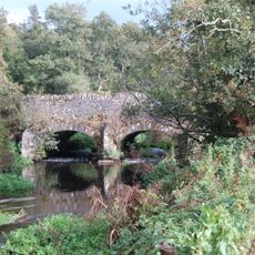
Athsollis Bridge
5 km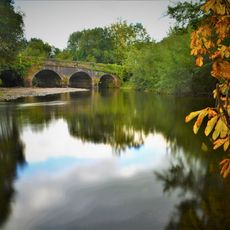
Carrigaphooca Bridge
12 km
Warren's Bridge
6.1 kmReviews
Visited this place? Tap the stars to rate it and share your experience / photos with the community! Try now! You can cancel it anytime.
Discover hidden gems everywhere you go!
From secret cafés to breathtaking viewpoints, skip the crowded tourist spots and find places that match your style. Our app makes it easy with voice search, smart filtering, route optimization, and insider tips from travelers worldwide. Download now for the complete mobile experience.

A unique approach to discovering new places❞
— Le Figaro
All the places worth exploring❞
— France Info
A tailor-made excursion in just a few clicks❞
— 20 Minutes