
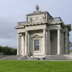
Saint Anne's Park, Victorian folly in Clontarf East, Ireland
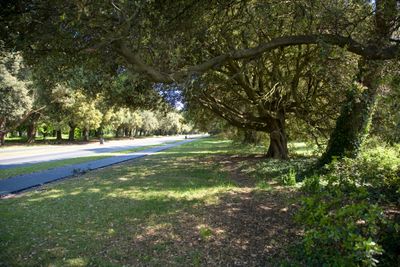
Saint Anne's Park is a Victorian landscape featuring twelve stone decorative structures scattered across 240 acres between Clontarf and Raheny in Dublin. The grounds include sports facilities, tennis courts, and woodland paths connecting the various follies.
The land was part of the Guinness family estate until Dublin Corporation purchased it in 1939 and converted it into public parkland. This transformation preserved the Victorian structures while opening the space to the community.
The Red Stables Art Centre operates in restored brick buildings where artists create and exhibit their work regularly. A farmers market gathering local producers happens weekly, connecting visitors with the neighborhood's creative community.
The park is accessible during daylight hours with multiple entrances and parking areas throughout the grounds. Visitors should wear comfortable shoes as paths wind through wooded sections and the follies are spread across the expansive terrain.
The grounds hide unexpected structures including a Roman tower and a Pompeian-style temple connected by woodland paths. These eccentric buildings were an expression of Victorian landscape design and still surprise visitors expecting a conventional green space.
GPS coordinates: 53.37232,-6.18093
Latest update: December 7, 2025 19:29
Casino at Marino
3.1 km
Bull Wall
2.5 km
The Royal Dublin Golf Club
1.8 km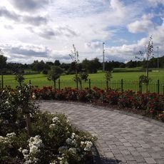
Stardust Memorial Park
3.1 km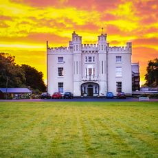
Manresa House, Dublin
639 m
All Saints' Church, Raheny
719 m
North Bank Lighthouse
3.1 km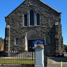
St Anthony's Hall
2.7 km
St Brigid's Church, Killester
1.1 km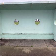
Clontarf Promenade shelter 8
1.6 km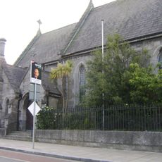
St. Assam's Church
969 m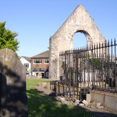
St. Assam's Church
963 m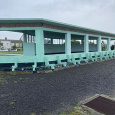
Clontarf Promenade large shelter
1.8 km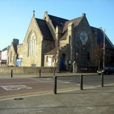
Clontarf Methodist Church
2.6 km
St Anthony's Church, Clontarf
2.6 km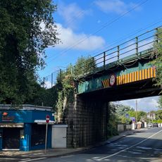
Howth Road railway bridge
2.7 km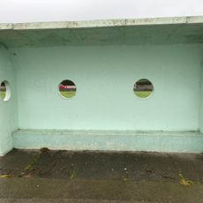
Clontarf Promenade shelter 4
2 km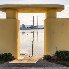
Bull Wall bathing shelters
2.5 km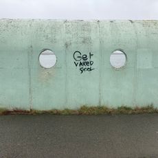
Clontarf Promenade shelter 7
1.9 km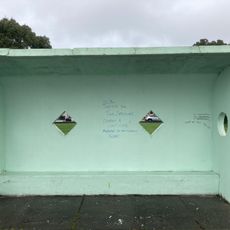
Clontarf Promenade shelter 1
2.6 km
Church of Our Lady Mother of Divine Grace
1 km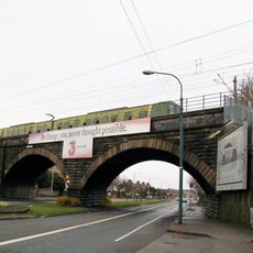
Clontarf Railway Bridge
3.1 km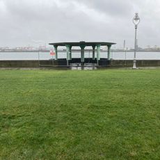
Bandstand, Clontarf Road
2.2 km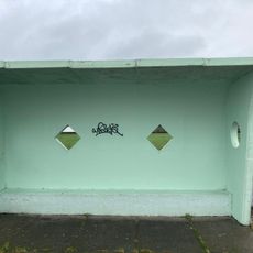
Clontarf Promenade shelter 2
2.5 km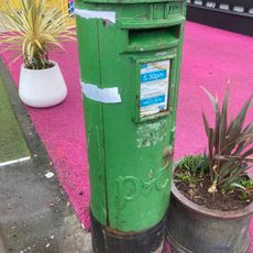
Clontarf Road (north) pillar postbox
1.3 km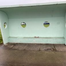
Clontarf Promenade shelter 5
1.4 km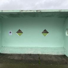
Clontarf Promenade shelter 3
2.4 km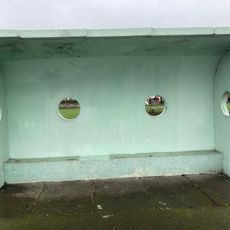
Clontarf Promenade shelter 6
1.9 kmReviews
Visited this place? Tap the stars to rate it and share your experience / photos with the community! Try now! You can cancel it anytime.
Discover hidden gems everywhere you go!
From secret cafés to breathtaking viewpoints, skip the crowded tourist spots and find places that match your style. Our app makes it easy with voice search, smart filtering, route optimization, and insider tips from travelers worldwide. Download now for the complete mobile experience.

A unique approach to discovering new places❞
— Le Figaro
All the places worth exploring❞
— France Info
A tailor-made excursion in just a few clicks❞
— 20 Minutes