
Donaghmore, Ogham Site, Co. Kildare
Location: Leinster
Location: North Salt
Location: Donaghmore
Location: Maynooth
Location: Maynooth
Part of: Ogi-Ogham Project, Irish ᚑᚌᚆᚐᚋ Stones in the Wikimedia Universe
GPS coordinates: 53.37528,-6.55111
Latest update: May 9, 2025 17:13
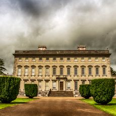
Castletown House
4 km
Conolly's Folly
931 m
The Wonderful Barn
3.3 km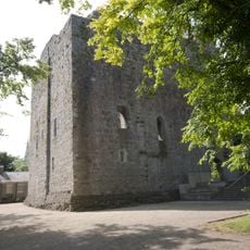
Maynooth Castle
2.9 km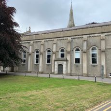
Aula Maxima, Maynooth
3.2 km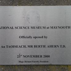
National Science Museum at Maynooth
3.1 km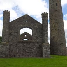
Taghadoe
4.8 km
Donaghcumper Church
4.2 km
Mullen Bridge
2.5 km
St Catherine's Park Church
5.4 km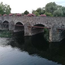
Celbridge Bridge
4.2 km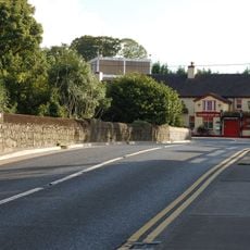
Leixlip Bridge
4.5 km
Church of Our Lady's Nativity
4 km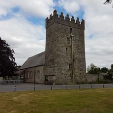
St Mary's Church
2.9 km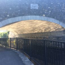
Bond Bridge
3 km
Saint Patrick's Church
4 km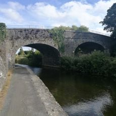
Deey Bridge and Lock
1.5 km
St Patrick's College Collegiate Chapel
3.2 km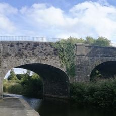
Pike Bridge
438 m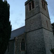
Christchurch
3.9 km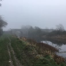
Collins Bridge (Coldblow)
6.3 km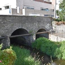
William Bridge
2.9 km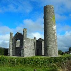
Taghadoe Round Tower
4.8 km
St Mary's Church
4.2 km
Maynooth Library
2.6 km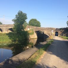
Jackson's Bridge and Lock
4.7 km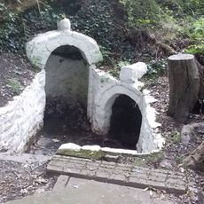
St Catherine's Holy Well (Dublin)
5.3 km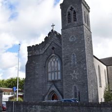
St Mary's Catholic Church
2.9 kmReviews
Visited this place? Tap the stars to rate it and share your experience / photos with the community! Try now! You can cancel it anytime.
Discover hidden gems everywhere you go!
From secret cafés to breathtaking viewpoints, skip the crowded tourist spots and find places that match your style. Our app makes it easy with voice search, smart filtering, route optimization, and insider tips from travelers worldwide. Download now for the complete mobile experience.

A unique approach to discovering new places❞
— Le Figaro
All the places worth exploring❞
— France Info
A tailor-made excursion in just a few clicks❞
— 20 Minutes