
Baltinglass, Ogham Site, Co. Wicklow
Location: Leinster
Location: Upper Talbotstown
Part of: Ogi-Ogham Project, Irish ᚑᚌᚆᚐᚋ Stones in the Wikimedia Universe
GPS coordinates: 52.96639,-6.62444
Latest update: April 28, 2025 05:27
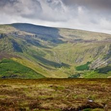
Lugnaquilla
10.7 km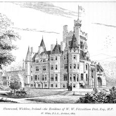
Humewood Castle
6.3 km
Turlough Hill
15.3 km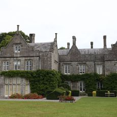
Lisnavagh House
13.1 km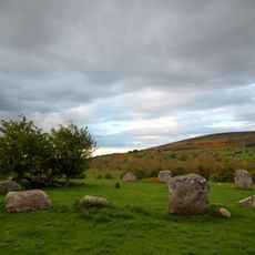
Piper's Stones
11.8 km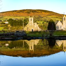
Baltinglass Abbey
6.1 km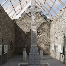
Moone High Cross
13.5 km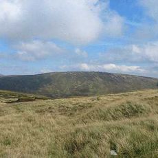
Conavalla
12.8 km
Cloghernagh
13.2 km
Table Mountain
11.1 km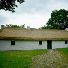
Dwyer–McAllister Cottage
4 km
Slievemaan
9.3 km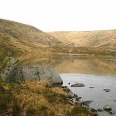
Corrigasleggaun
12.3 km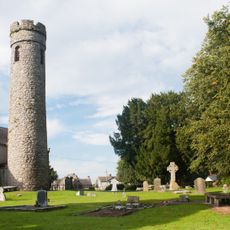
Castledermot Monastery
15.4 km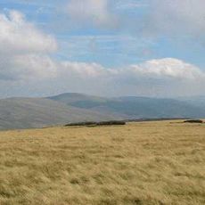
Camenabologue
10.8 km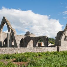
Castledermot Friary
15.7 km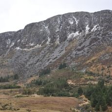
Benleagh
11.7 km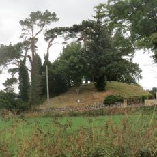
Rathvilly Moat
10.2 km
Castleruddery Stone Circle
2.9 km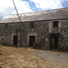
Bunnadober Mill
4 km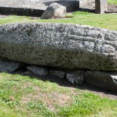
Castledermot Hogback
15.4 km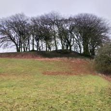
Lemonstown Motte
13.4 km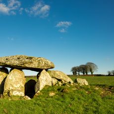
Haroldstown Dolmen
13.8 km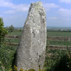
Mullamast Stone
15.7 km
Portal tomb of Broomfields
6.9 km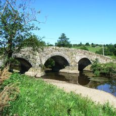
Kelsha Bridge
3.2 km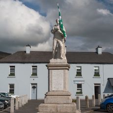
Michael Dwyer Monument
6.3 km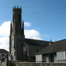
St Bridget's Church
12.2 kmReviews
Visited this place? Tap the stars to rate it and share your experience / photos with the community! Try now! You can cancel it anytime.
Discover hidden gems everywhere you go!
From secret cafés to breathtaking viewpoints, skip the crowded tourist spots and find places that match your style. Our app makes it easy with voice search, smart filtering, route optimization, and insider tips from travelers worldwide. Download now for the complete mobile experience.

A unique approach to discovering new places❞
— Le Figaro
All the places worth exploring❞
— France Info
A tailor-made excursion in just a few clicks❞
— 20 Minutes