
Dun Laoghaire, Ogham Site, Co. Dublin
Location: Leinster
Location: County Dublin
Location: Rathdown, County Dublin
Part of: Ogi-Ogham Project, Irish ᚑᚌᚆᚐᚋ Stones in the Wikimedia Universe
GPS coordinates: 53.29333,-6.14222
Latest update: June 10, 2025 20:30
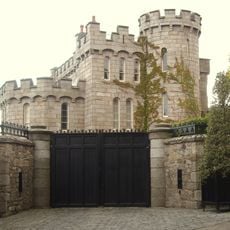
Manderley Castle
3.9 km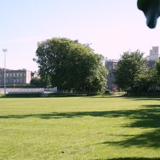
Blackrock College
3.5 km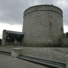
James Joyce Tower and Museum
2 km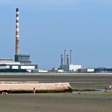
Sandymount Strand
5.4 km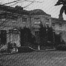
Frescati House
2.8 km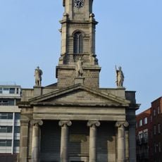
St. Paul's Church, Dublin
1.7 km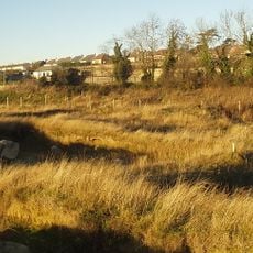
Carrickmines Castle
5 km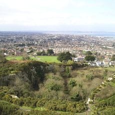
Dalkey Quarry
3.4 km
National Maritime Museum of Ireland
713 m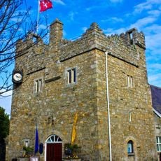
Dalkey Castle
3 km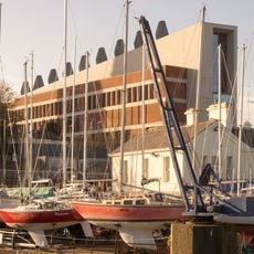
Dlr Lexicon
675 m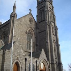
St. John the Baptist, Blackrock
2.3 km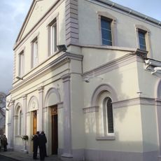
Church of the Assumption, Booterstown
4 km
People's Park, Dún Laoghaire
977 m
Monkstown Church, Dublin
722 m
Category:Blackrock Town Hall, Library and Technical Institute
2.4 km
Kill of the Grange
1.8 km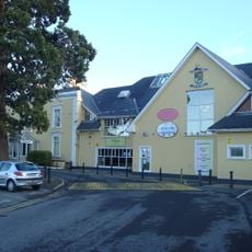
Glenalbyn
3.8 km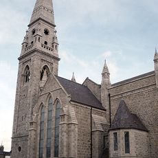
Mariners' Church, Dún Laoghaire
688 m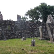
Killiney Church
4.6 km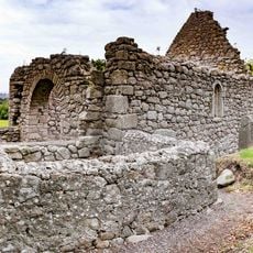
Tully Church
5.2 km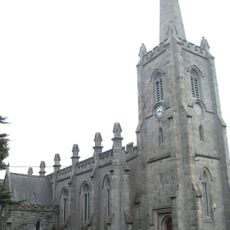
St. Philip and St. James Church, Booterstown
3.4 km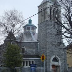
St. Andrew's, Blackrock
3 km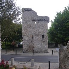
Archbold's Castle
3 km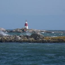
Muglins Lighthouse
4.8 km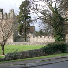
Monkstown Castle
746 m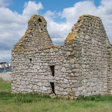
Dalkey Island Church
4.4 km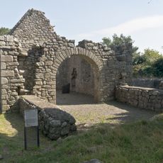
Tully Church Laughanstown and crosses
5.2 kmReviews
Visited this place? Tap the stars to rate it and share your experience / photos with the community! Try now! You can cancel it anytime.
Discover hidden gems everywhere you go!
From secret cafés to breathtaking viewpoints, skip the crowded tourist spots and find places that match your style. Our app makes it easy with voice search, smart filtering, route optimization, and insider tips from travelers worldwide. Download now for the complete mobile experience.

A unique approach to discovering new places❞
— Le Figaro
All the places worth exploring❞
— France Info
A tailor-made excursion in just a few clicks❞
— 20 Minutes