
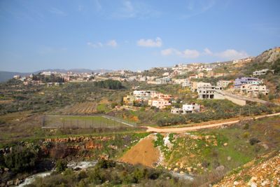
Ein Qiniyye, farm village in Israel
Location: Northern District
Elevation above the sea: 750 m
GPS coordinates: 33.23694,35.73083
Latest update: April 17, 2025 04:47
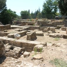
Caesarea Philippi
3.6 km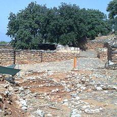
Dan
7.5 km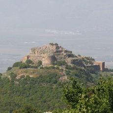
Nimrod Fortress
2.3 km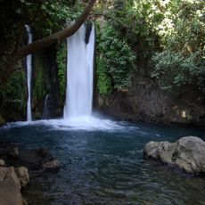
Banyas
11.8 km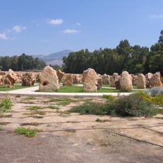
1997 Israeli helicopter disaster monument
8.5 km
Hurshat Tal
9.6 km
Mitzpe Shelegim
11.4 km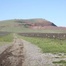
Mt. Hermonit
8.2 km
Omrit
6.6 km
Mount Betarim
6.5 km
Tel Dan Nature Reserve
7.3 km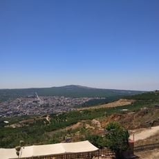
Mount Odem
4.8 km
Odem Forest Reserve
3.1 km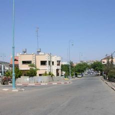
Tall Warda
6.1 km
Nabi Ya'afuri
3.5 km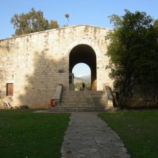
Beit Ussishkin Nature Museum
7 km
Tel Anafa
10.4 km
The Prehistoric Man Museum
11.4 km
Tal al-Manfucha
5.4 km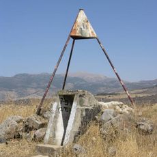
Givat HaEm
7.3 km
Mount Keramim
4.8 km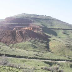
שמורת הר חרמונית
8.2 km
Har Senaim
4 km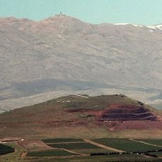
Har Baron
9.8 km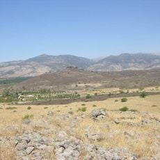
Tel Azaziat
6.1 km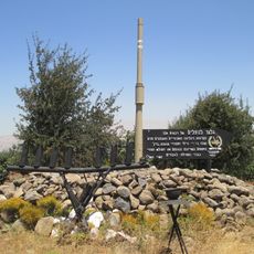
74th Battalion memorial on Golan Heights
6 km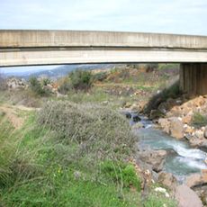
The Friendship Bridge (Israel)
929 m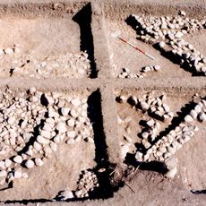
HaGoshrim
10 kmReviews
Visited this place? Tap the stars to rate it and share your experience / photos with the community! Try now! You can cancel it anytime.
Discover hidden gems everywhere you go!
From secret cafés to breathtaking viewpoints, skip the crowded tourist spots and find places that match your style. Our app makes it easy with voice search, smart filtering, route optimization, and insider tips from travelers worldwide. Download now for the complete mobile experience.

A unique approach to discovering new places❞
— Le Figaro
All the places worth exploring❞
— France Info
A tailor-made excursion in just a few clicks❞
— 20 Minutes