
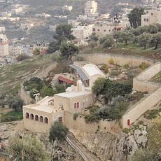
ח'רבת חרד'אן, archaeological site in Israel
Location: Judea and Samaria Area
Elevation above the sea: 609 m
GPS coordinates: 31.73213,35.26966
Latest update: March 17, 2025 23:16
Akeldama
5.3 km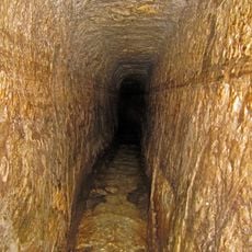
Hezekiah's Tunnel
5.5 km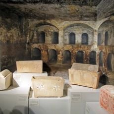
Talpiot Tomb
3.9 km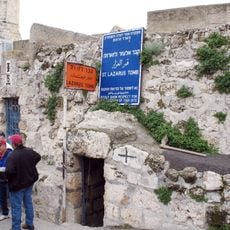
Tomb of Lazarus
4.6 km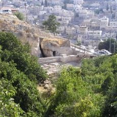
Siloam
5.3 km
Armon Hanatziv
4 km
Armon Hanatziv promenade
4.2 km
Silwan necropolis
5.6 km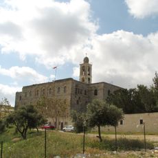
Mar Elias Monastery
5.5 km
Kathisma Church
5.4 km
St. Onuphrius Monastery
5.3 km
Monastery of St. Theodosius
1.7 km
Ben Yehuda second House
4.9 km
Tolerance Monument
3.8 km
Olive Columns
4.5 km
Centre de recherche français à Jérusalem
5.5 km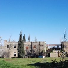
חוות הלימוד
4.4 km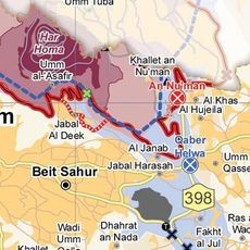
Nuaman
3.1 km
בית אתנחתא
5.3 km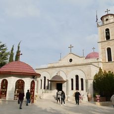
Monastery of the Shepherds
5.3 km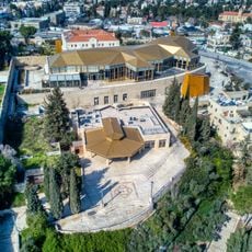
Sherover Cultural Center
5.3 km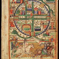
Kloster St. Lazarus in Bethanien
4.6 km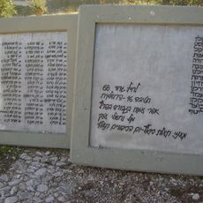
68 Battalion Memorial
4.5 km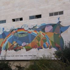
פסיפס הקשת בענן
5.2 km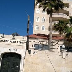
Golden Park Resort
5 km
Archaeological Garden
5.1 km
Murad Tourism Park
2.3 km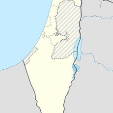
Al Khāş
2.3 kmReviews
Visited this place? Tap the stars to rate it and share your experience / photos with the community! Try now! You can cancel it anytime.
Discover hidden gems everywhere you go!
From secret cafés to breathtaking viewpoints, skip the crowded tourist spots and find places that match your style. Our app makes it easy with voice search, smart filtering, route optimization, and insider tips from travelers worldwide. Download now for the complete mobile experience.

A unique approach to discovering new places❞
— Le Figaro
All the places worth exploring❞
— France Info
A tailor-made excursion in just a few clicks❞
— 20 Minutes