
Soling Road, דרך שנבנתה בשיטה שפותחה על ידי המהנדס הבריטי תומאס טלפורד
Location: Ramat Negev Regional Council
GPS coordinates: 30.96214,34.98208
Latest update: March 17, 2025 21:51
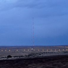
Dimona Radar Facility
11.2 km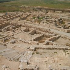
Tel Be'er Sheva
34.2 km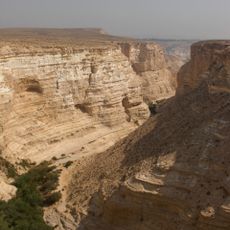
Ein Avdat
25.6 km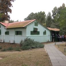
Ben Gurion's Desert Home
20.8 km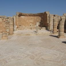
Mamshit
10.6 km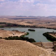
Yeruham lake
8.6 km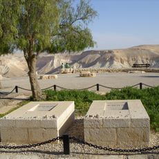
David and Pola Ben Gurion graves
22.6 km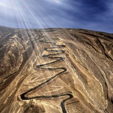
Ma'aleh Akrabim
15.6 km
Metsad Hatseva
30.4 km
Golda Park
21.9 km
Mezad Tamar
25.9 km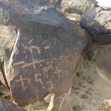
חרותות סלע בהר הנגב המרכזי
27.7 km
Horvat Uza
32.6 km
קניון דימונה
11.5 km
Metzad Mahmal
30.9 km
Tel Malhata
28.7 km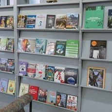
Midreshet Ben-Gurion library
22.6 km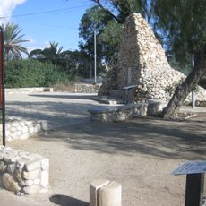
Bir Asluj War Memorial
21.9 km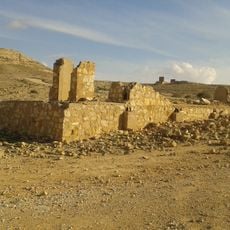
Oil exploration camp in Mount Avnon
1.4 km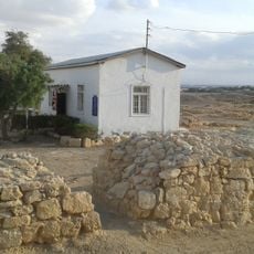
Ein Husub Police Station
30.2 km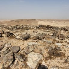
Qitmit
26.1 km
Age of Science
11.7 km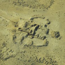
Matzad Maagura
24.6 km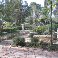
Revivim Military Cemetery
27.2 km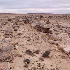
חורבת הרועה
13.7 km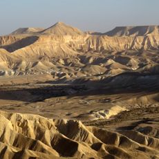
Ben-Gurion Heritage Institute
22.9 km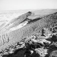
Radum Site
30.8 km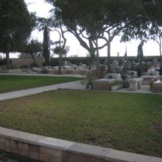
Dimona Military Cemetery
11.5 kmReviews
Visited this place? Tap the stars to rate it and share your experience / photos with the community! Try now! You can cancel it anytime.
Discover hidden gems everywhere you go!
From secret cafés to breathtaking viewpoints, skip the crowded tourist spots and find places that match your style. Our app makes it easy with voice search, smart filtering, route optimization, and insider tips from travelers worldwide. Download now for the complete mobile experience.

A unique approach to discovering new places❞
— Le Figaro
All the places worth exploring❞
— France Info
A tailor-made excursion in just a few clicks❞
— 20 Minutes