
מזקף הבאר ליד נחלת יהודה, אחד ממזקפי דרך הביטחון
Location: Holon
Address: סוף דרך עפר, המשכה של שדרות היובל בנחלת יהודה (צפון ראשון לציון)
GPS coordinates: 31.99462,34.80750
Latest update: March 17, 2025 22:52
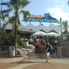
Yamit 2000
1.6 km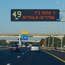
Express Line Highway 1
3.3 km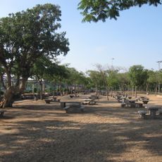
Peres park
1.2 km
Haviv Elementary School
3.4 km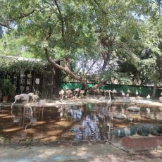
Chai Kef zoo
2.7 km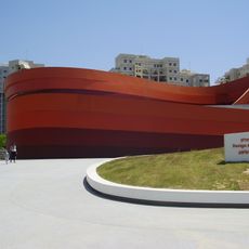
Design Museum Holon
3.4 km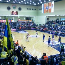
Maccabi Sports Hall
3.4 km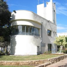
Hussamssa
2.5 km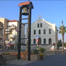
Great Synagogue of Rishon LeZion
3.4 km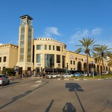
Holon Mall
3.4 km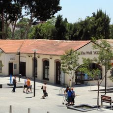
Rishon LeZion well
3.4 km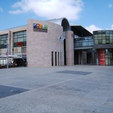
Holon Mediatheque
3.4 km
Holon Children's Museum
1.3 km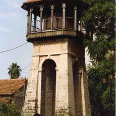
Rishon LeZion old water tower
3.4 km
The Rishon LeZion nation leaders park
2.4 km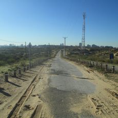
The Security Road
1.6 km
Muzeʼon Rishon-le-Tsiyon
3.4 km
Asher Levin House - Belkind House
3.4 km
Kanner House
3.4 km
The Cube
1.5 km
First Administration House
3.4 km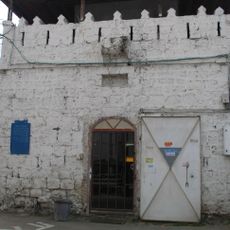
המצדית העות'מאנית (מחלף השבעה)
1.8 km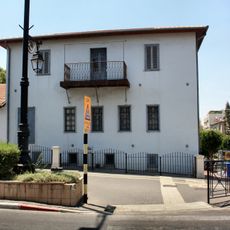
Heismann House
3.4 km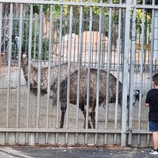
פינת חי
3.2 km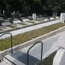
Rishon leZion Military Cemetery
3 km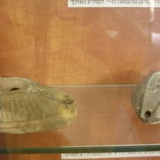
Azor Museum
3.3 km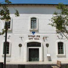
Rishon LeZion old town hall
3.4 km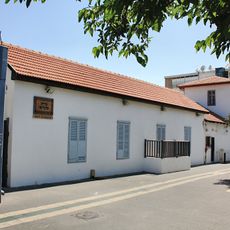
Schalit House and Stable
3.4 kmReviews
Visited this place? Tap the stars to rate it and share your experience / photos with the community! Try now! You can cancel it anytime.
Discover hidden gems everywhere you go!
From secret cafés to breathtaking viewpoints, skip the crowded tourist spots and find places that match your style. Our app makes it easy with voice search, smart filtering, route optimization, and insider tips from travelers worldwide. Download now for the complete mobile experience.

A unique approach to discovering new places❞
— Le Figaro
All the places worth exploring❞
— France Info
A tailor-made excursion in just a few clicks❞
— 20 Minutes