
Rajam mandal, human settlement in India
Location: Vizianagaram district
Capital city: Rajam
Elevation above the sea: 61 m
GPS coordinates: 18.45000,83.65600
Latest update: March 7, 2025 11:16
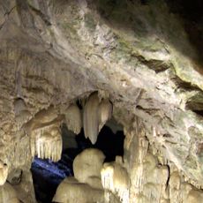
Borra Caves
76.2 km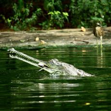
Indira Gandhi Zoological Park
82.4 km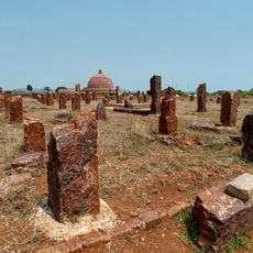
Thotlakonda
74.2 km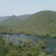
Kambalakonda Wildlife Sanctuary
78.7 km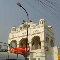
Arasavalli
30.7 km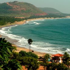
Rushikonda Beach
80.2 km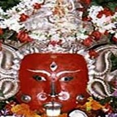
Majhighariani Temple
83.3 km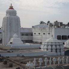
Arasavalli Sun Temple
30.7 km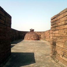
Bavikonda
75.8 km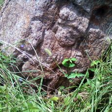
Pavurallakonda
66.6 km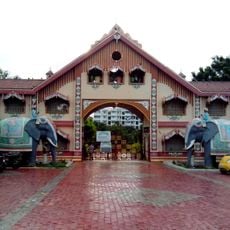
Shilparamam Jathara
78.6 km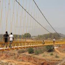
Hanging Bridge at Chekaguda, Rayagada
83.2 km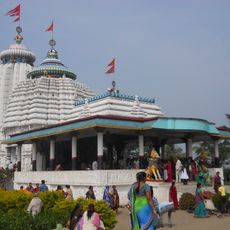
Jagannath Temple, Gunupur
72.2 km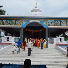
Jagannath Temple, Rayagada
83.3 km
Gudiwada Dibba
61.6 km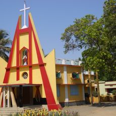
St. Paul's Church, Gunupur
72.3 km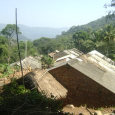
Gudanggorjang
71.2 km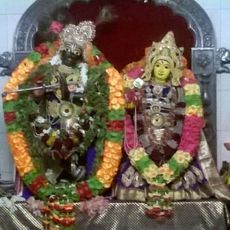
Gopinath Temple, Lihuri
55.3 km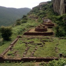
Gurubhaktulakonda ruined Buddhist monastery
35.4 km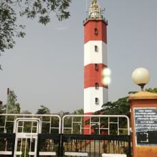
Kalingapatnam Lighthouse
50.7 km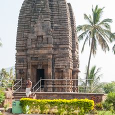
Sri Somesvara temple
36.2 km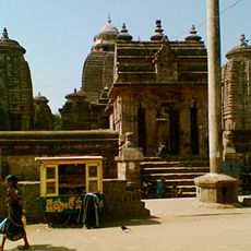
Srimukhalingeswara Temple
36.3 km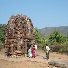
Dibbesvarasvamipur Temple
40.4 km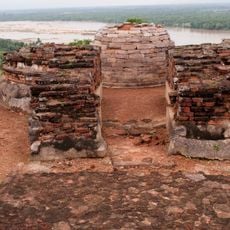
Salihundam Hill Chaitya and stupas
42.9 km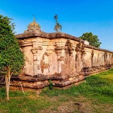
Kurmanatha Swamy Temple
42.1 km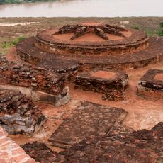
Salihundam Buddhist site
43.1 km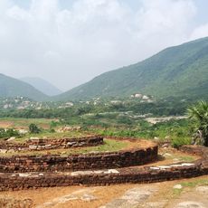
Durga Bhairavakonda
46.7 km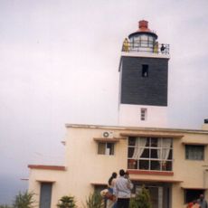
Bhimunipatnam Light house
65.8 kmReviews
Visited this place? Tap the stars to rate it and share your experience / photos with the community! Try now! You can cancel it anytime.
Discover hidden gems everywhere you go!
From secret cafés to breathtaking viewpoints, skip the crowded tourist spots and find places that match your style. Our app makes it easy with voice search, smart filtering, route optimization, and insider tips from travelers worldwide. Download now for the complete mobile experience.

A unique approach to discovering new places❞
— Le Figaro
All the places worth exploring❞
— France Info
A tailor-made excursion in just a few clicks❞
— 20 Minutes