
Sonarpur community development block
Sonarpur community development block, Community Development Block in West Bengal, India
Location: Baruipur subdivision
Elevation above the sea: 9 m
Shares border with: Bishnupur I community development block
GPS coordinates: 22.43820,88.43205
Latest update: March 2, 2025 23:11
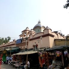
Kalighat Kali Temple
13 km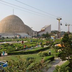
Science City
12 km
Asutosh College
13.1 km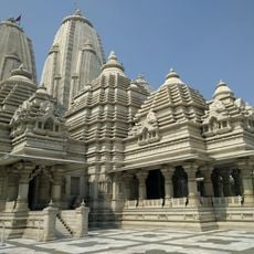
Birla Mandir
12.4 km
Urbana
8.4 km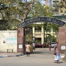
Lady Brabourne College
13.6 km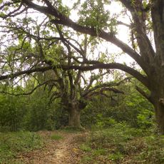
Chintamoni Kar Bird Sanctuary
3.4 km
Birla Industrial & Technological Museum
12.9 km
Aquatica
14.2 km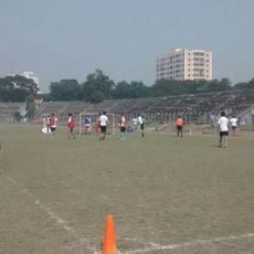
Rabindra Sarobar Stadium
11.6 km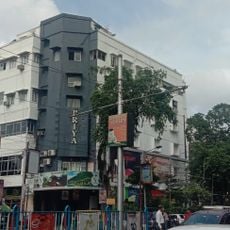
Priya Cinema
11.9 km
Ramakrishna Mission Institute of Culture
11 km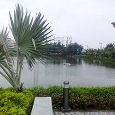
Benubana Chhaya
6.1 km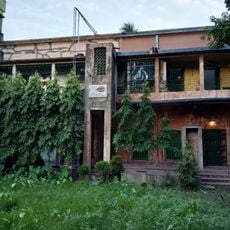
Sabarna Sangrahashala
13.3 km
Pathrakaliamman Temple
13 km
Experimenter Gallery
11.8 km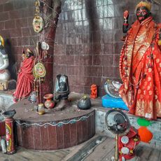
Chinese Kali Mandir
12.9 km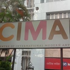
Centre of International Modern Art
12.5 km
Durga Exhibition Museum
10.9 km
Aayakar Bhawan Poorva
9.3 km
Maddox Square
12.6 km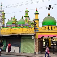
Zohra Begum Mosque
12 km
Gas Crematorium
13.8 km
Kamarghat Dwadash Shiva temple
11.5 km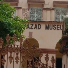
Azad Memorabilia Museum
13.2 km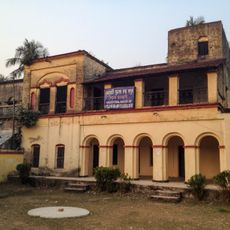
Ancestral House of Bose family
3 km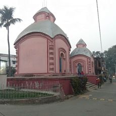
Jora Temple
7.4 km
Prince Mohammed Rahimuddin Imambara
11.5 kmReviews
Visited this place? Tap the stars to rate it and share your experience / photos with the community! Try now! You can cancel it anytime.
Discover hidden gems everywhere you go!
From secret cafés to breathtaking viewpoints, skip the crowded tourist spots and find places that match your style. Our app makes it easy with voice search, smart filtering, route optimization, and insider tips from travelers worldwide. Download now for the complete mobile experience.

A unique approach to discovering new places❞
— Le Figaro
All the places worth exploring❞
— France Info
A tailor-made excursion in just a few clicks❞
— 20 Minutes