
Hosdurga Taluk
Location: Chitradurga district
GPS coordinates: 13.77800,76.35000
Latest update: March 2, 2025 23:33
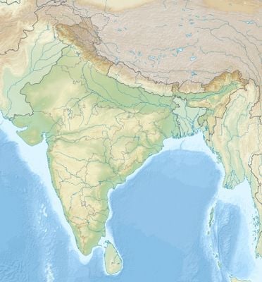
Hoysaleswara Temple
73.7 km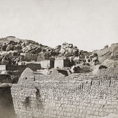
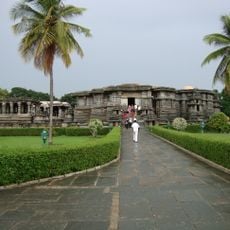
Chitradurga Fort
48.9 km
Vani vilasa sagara
18.6 km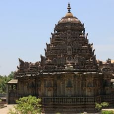
Amrutesvara Temple
53.8 km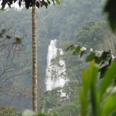
Hebbe Falls
72.6 km
Veera Narayana Temple, Belavadi
67.1 km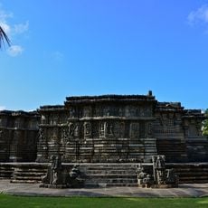
Kedareswara temple, Halebidu
73.9 km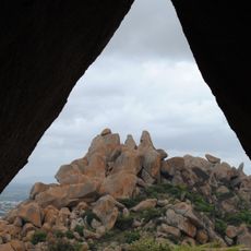
Chandravalli
48.1 km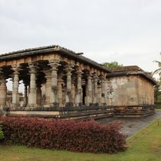
Jain temples, Halebidu
74.1 km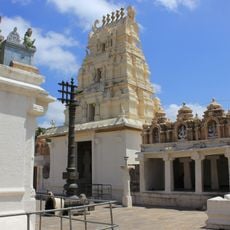
Seebi Narasimha Swamy Temple, Seebi
75.7 km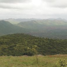
Jogimatti
43.1 km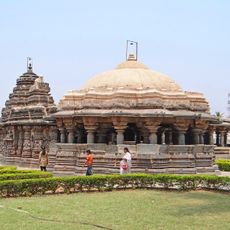
Ishvara Temple, Arasikere
52.1 km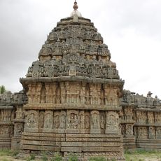
Lakshminarasimha Temple, Javagal
61.7 km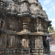
Lakshmi Narasimha Temple, Bhadravathi
70.7 km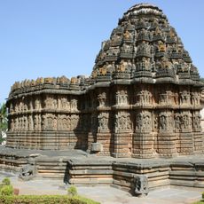
Chennakeshava Temple, Aralaguppe
65.2 km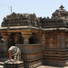
Chennakeshava Temple, Hullekere
65.4 km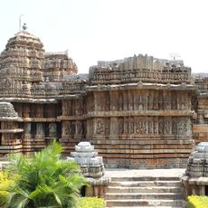
Lakshminarasimha Temple, Haranhalli
60.7 km
Kaggaladu
54.2 km
Teru Malleshvara Temple, Hiriyur
34.9 km
Someshvara Temple, Haranhalli
60.6 km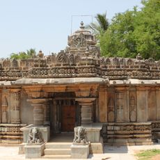
Lakshminarasimha Temple, Vignasante
73.2 km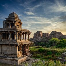
Chitradurga hill fortress & temples
49 km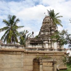
Gangadhareshwara Temple, Tumkur
76 km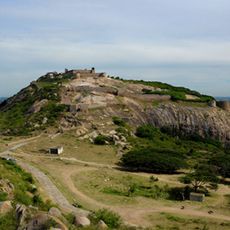
Musafirkhana and Honda
57.1 km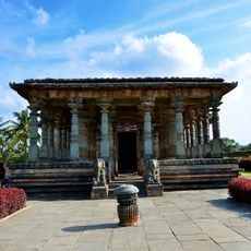
Parsvanatha Basti
74.1 km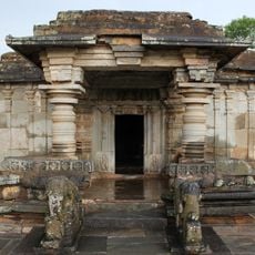
Adinatha Basti
74.1 km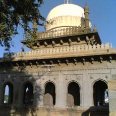
Malik Rihan Darga
60.6 km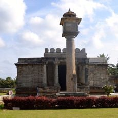
Santhinatha Basti
74.1 kmReviews
Visited this place? Tap the stars to rate it and share your experience / photos with the community! Try now! You can cancel it anytime.
Discover hidden gems everywhere you go!
From secret cafés to breathtaking viewpoints, skip the crowded tourist spots and find places that match your style. Our app makes it easy with voice search, smart filtering, route optimization, and insider tips from travelers worldwide. Download now for the complete mobile experience.

A unique approach to discovering new places❞
— Le Figaro
All the places worth exploring❞
— France Info
A tailor-made excursion in just a few clicks❞
— 20 Minutes