
Bhatkal Taluk, Tehsil in Indien
Location: Uttara Kannada District
GPS coordinates: 14.04100,74.58000
Latest update: May 17, 2025 13:42
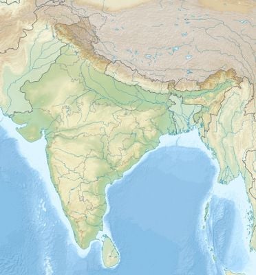
Jog Falls
32.7 km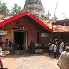
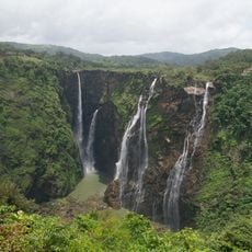
Mahabaleshwar Temple
62.7 km
Udupi Sri Krishna Matha
80.9 km
St. Mary's Islands
74.3 km
Sahasralinga
79.4 km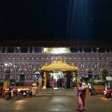
Sirsi Marikamba Temple
69.5 km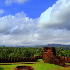
Mirjan Fort
52.8 km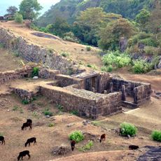
Kavaledurga Fort
68.7 km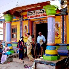
Ganesha Temple, Idagunji
62.7 km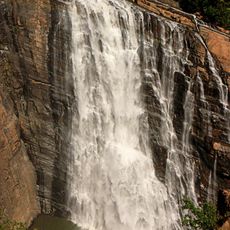
Unchalli Falls
44.9 km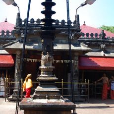
Kollur Mookambika Temple
32.1 km
Chitrapur Math
5 km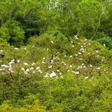
Gudavi Bird Sanctuary
64.4 km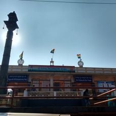
Humcha Jain temples
70.4 km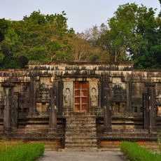
Chaturmukha Basadi, Gerusoppa
22.8 km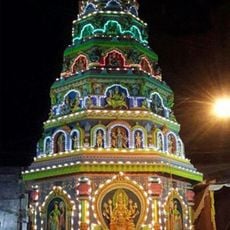
Marikamba Temple, Sagara
50.9 km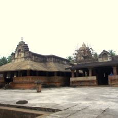
Madhukesvara temple
72.5 km
Milagres Church
73.8 km
Belambar
73 km
Gude Mahalingeswara Temple
28.5 km
Corporation Bank Heritage Museum
79.9 km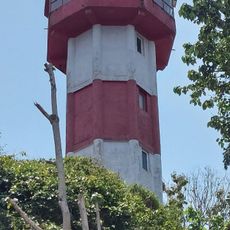
Honnavar Lighthouse
30.2 km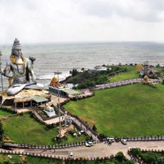
Shiva of Murudeshwara
11.9 km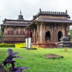
Aghoreshvara Temple, Ikkeri
48.9 km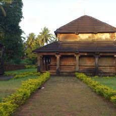
Jattappa Naykana Chandranathesvara Basti temple
6.3 km
Rameswara Temple
51.3 km
SRAVANI school
48.8 km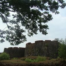
Shivappa Naik's Fort
54.9 kmReviews
Visited this place? Tap the stars to rate it and share your experience / photos with the community! Try now! You can cancel it anytime.
Discover hidden gems everywhere you go!
From secret cafés to breathtaking viewpoints, skip the crowded tourist spots and find places that match your style. Our app makes it easy with voice search, smart filtering, route optimization, and insider tips from travelers worldwide. Download now for the complete mobile experience.

A unique approach to discovering new places❞
— Le Figaro
All the places worth exploring❞
— France Info
A tailor-made excursion in just a few clicks❞
— 20 Minutes