
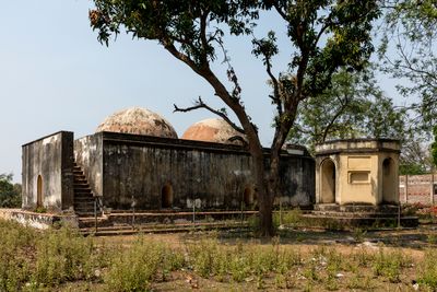
Hamam, building in Rajnagar community development block, India
Location: Rajnagar community development block
GPS coordinates: 23.95064,87.31353
Latest update: March 20, 2025 10:04
Santiniketan
48.4 km
Maluti temples
42.2 km
Nandikeshwari Temple
36.3 km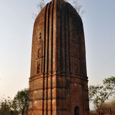
Temple of Ichai Ghosh
40.5 km
Ghaghar Burhi temple
43.1 km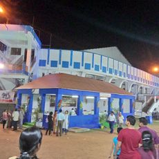
Sidhu Kanu Indoor Stadium
45.7 km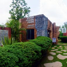
Amkhoi Fossil Park
46 km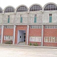
Shaheed Bhagat Singh Stadium
46.5 km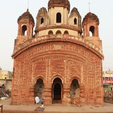
Radha Binod Temple
36.4 km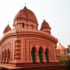
Radhamadhab temple of Sarkar family
35.4 km
Gopinathjiu temple of Handa family
34.6 km
Shiva Rekha Deul temple
31.8 km
Twin Shiva temple of Handa family
34.5 km
Gopaleshwar Shiva temple
43.5 km
Damodar Temple
22.8 km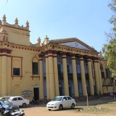
Hetampur Rajbari
20.6 km
Bishnu temple
45.9 km
Hattala Pancharatna Shiva temple
43.9 km
Lakshminrayan temple of Sarakar family Mejotaraf
35.4 km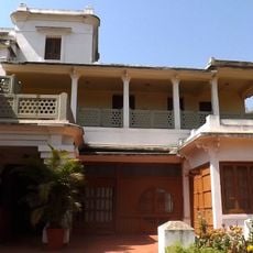
Udayan
48.1 km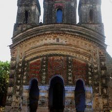
Moukhira Pancharatna temple
46.4 km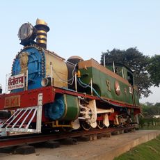
BK-1
44.9 km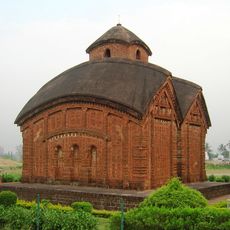
Temples in Bishnupur
22.3 km
Rajnagar Imambara
103 m
Sita-Rama temple of Handa family
34.6 km
Rasmancha of Radhamadhab temple of Sarkar family
35.4 km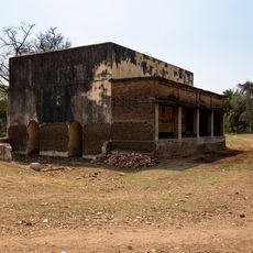
Barudghar
238 m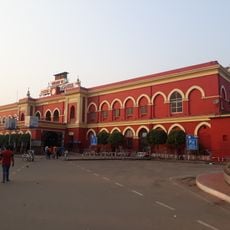
Asansol station building
44.9 kmReviews
Visited this place? Tap the stars to rate it and share your experience / photos with the community! Try now! You can cancel it anytime.
Discover hidden gems everywhere you go!
From secret cafés to breathtaking viewpoints, skip the crowded tourist spots and find places that match your style. Our app makes it easy with voice search, smart filtering, route optimization, and insider tips from travelers worldwide. Download now for the complete mobile experience.

A unique approach to discovering new places❞
— Le Figaro
All the places worth exploring❞
— France Info
A tailor-made excursion in just a few clicks❞
— 20 Minutes