
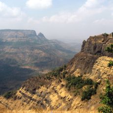
Mankulam Range Forest, Teil des Weltnaturerbes Westghats, Indien
Location: Kerala
Inception: 1980
Part of: Western Ghats
GPS coordinates: 10.08333,76.91667
Latest update: April 7, 2025 08:19
Western Ghats
18 km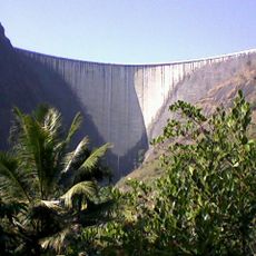
Idukki Dam
26.5 km
Anamudi
18.5 km
Eravikulam National Park
22.4 km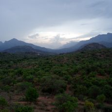
Chinnar Wildlife Sanctuary
37.2 km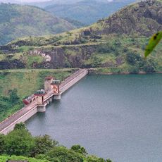
Cheruthoni Dam
27.1 km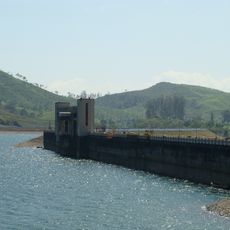
Solaiyar Dam
24.4 km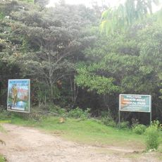
Anamudi Shola National Park
23 km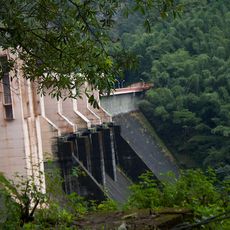
Idamalayar Dam
27.8 km
Top Station
36.3 km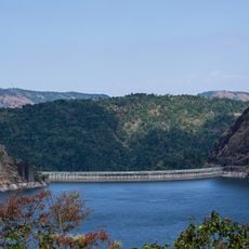
Idukki wildlife sanctuary
34.1 km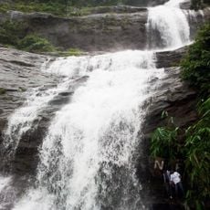
Cheeyappara
6.9 km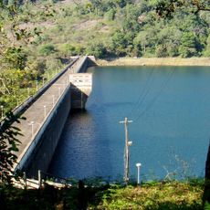
Sholayar Dam
33.1 km
KDHP Tea Museum
14.7 km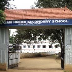
Kannadi
18.5 km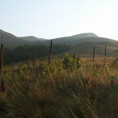
Grass Hills National Park
29.7 km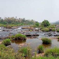
Paniyeli Poru
36.5 km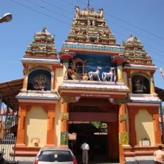
Sree Krishna Swami Temple, Thodupuzha
29.9 km
Meenuliyan Para
10.8 km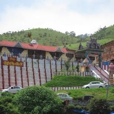
Subramanya Temple, Munnar
15.7 km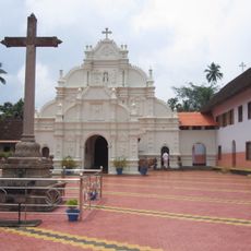
St. Mary's Syro-Malabar Catholic Church, Arakuzha
38 km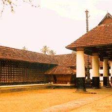
Thrikkariyoor Mahadeva Temple
33.3 km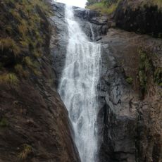
Kattikkayam Falls
36.2 km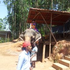
Carmelagiri Elephant Park
19.8 km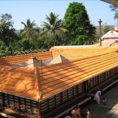
Kanjiramattam Sree Mahadeva Temple
22.5 km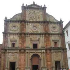
St. Thomas More Church, Alakode
27.8 km
Amaramkavu
29.7 km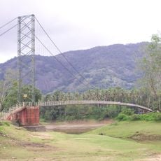
Inchathotty suspension bridge
21.3 kmReviews
Visited this place? Tap the stars to rate it and share your experience / photos with the community! Try now! You can cancel it anytime.
Discover hidden gems everywhere you go!
From secret cafés to breathtaking viewpoints, skip the crowded tourist spots and find places that match your style. Our app makes it easy with voice search, smart filtering, route optimization, and insider tips from travelers worldwide. Download now for the complete mobile experience.

A unique approach to discovering new places❞
— Le Figaro
All the places worth exploring❞
— France Info
A tailor-made excursion in just a few clicks❞
— 20 Minutes