
Munibaba Temple, state protected monument of Gujarat
Location: Surendranagar district
GPS coordinates: 22.53194,71.20556
Latest update: June 9, 2025 06:40
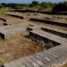
Lothal
107.3 km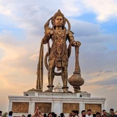
Shri Hanuman Mandir
71.8 km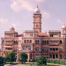
Ranjit Vilas Palace
29 km
Blackbuck National Park
98.9 km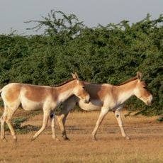
Indian Wild Ass Sanctuary
101.1 km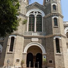
Mahatma Gandhi Museum
49 km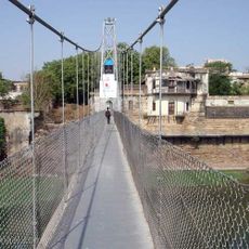
Julto Pul
49.2 km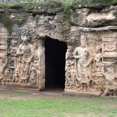
Khambhalida Caves
98.6 km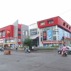
Crystal Mall Rajkot
53.5 km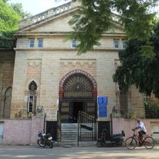
Watson Museum
48.9 km
Brahma Kund
120.2 km
Munsar lake and shrines
108.2 km
Khodiyar Temple - Rajapara (Gujarat)
122.2 km
Krishna Water park
35.4 km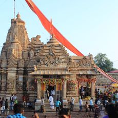
Trinetreshwar Temple
12.7 km
Madhavav
52.1 km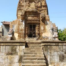
Ranak Devi's Temple
52.4 km
The Eldorado Park
59.8 km
Sacred Heart Syro-Malabar Cathedral
54.1 km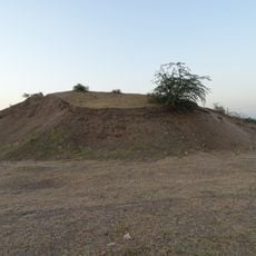
Gohilwad Timbo
102.6 km
Shri Nathjidada Ni Jagya
95.4 km
Mayur Bridge
49.6 km
Jamnagar Solarium
117.3 km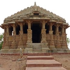
Navlakha temple, Sejakpar
22.9 km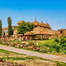
Sun temple, Thangadh
7.3 km
Fresco on the wall of Kashivishwanath temple, Padar Shinga
102 km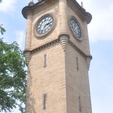
Jam Tower
49 km
Ancient Site, Venivadar
98.8 kmReviews
Visited this place? Tap the stars to rate it and share your experience / photos with the community! Try now! You can cancel it anytime.
Discover hidden gems everywhere you go!
From secret cafés to breathtaking viewpoints, skip the crowded tourist spots and find places that match your style. Our app makes it easy with voice search, smart filtering, route optimization, and insider tips from travelers worldwide. Download now for the complete mobile experience.

A unique approach to discovering new places❞
— Le Figaro
All the places worth exploring❞
— France Info
A tailor-made excursion in just a few clicks❞
— 20 Minutes