
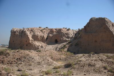
Tepe Balkin, mound in Malard County, Iranian national heritage site
Location: Malard County
Inception: 4 Millenium BCE
GPS coordinates: 35.61944,50.95722
Latest update: March 24, 2025 03:03
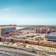
Iran Mall
25.9 km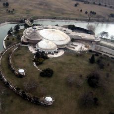
Pearl Palace
19.8 km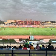
Shohada Stadium
16.6 km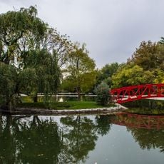
National Botanical Garden of Iran
23.7 km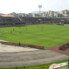
Enghelab Stadium
25.7 km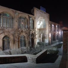
Madrasah Akbarieh
18.1 km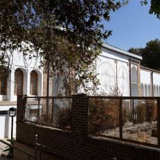
Soleymaniyeh Palace
20.7 km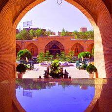
Shah Abbasi Caravanserai of Karaj
21.6 km
Takht-e Rostam Fire Temple
3.5 km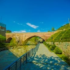
Pol-e Dokhtar (Karaj)
21.8 km
Imamzadeh Hazratein
18.5 km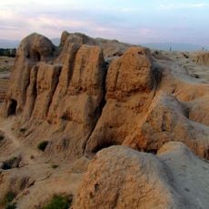
Tepe Juqin
6 km
Iran Zamin Park
24.7 km
Fateh Garden
23.7 km
Shora Park (Karaj)
18.3 km
Jahan Garden (Karaj)
23.7 km
Chamran Park
20.9 km
Amir al-Momenin Mosque (Nasimshahr)
19.6 km
Mehrshahr Apple Garden
21.5 km
Jahanshahr Gardens
23.8 km
Robat Karim Stone Caravanserai
18 km
Imamzadeh Ismail (Shahriar)
9.7 km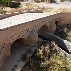
Bazarak Bridge
19.7 km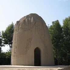
Baba Mahmud Tower
7.3 km
Fath-Ali Shah Caravanserai
20 km
Robat Karim Watermill
20.8 km
Little Iran Park
23.9 km
Aq Tepe (Mehrshahr)
21.1 kmReviews
Visited this place? Tap the stars to rate it and share your experience / photos with the community! Try now! You can cancel it anytime.
Discover hidden gems everywhere you go!
From secret cafés to breathtaking viewpoints, skip the crowded tourist spots and find places that match your style. Our app makes it easy with voice search, smart filtering, route optimization, and insider tips from travelers worldwide. Download now for the complete mobile experience.

A unique approach to discovering new places❞
— Le Figaro
All the places worth exploring❞
— France Info
A tailor-made excursion in just a few clicks❞
— 20 Minutes