
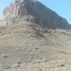
Tepe Shamsabad, mound in Damghan County, Iranian national heritage site
Location: Howmeh Rural District
GPS coordinates: 36.12972,54.39944
Latest update: April 7, 2025 21:36
Gerdkuh
22.1 km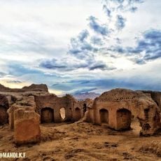
Tepe Hissar
3.4 km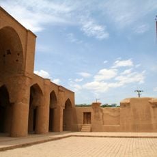
Tarikhaneh
5.6 km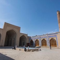
Jameh Mosque of Damghan
6 km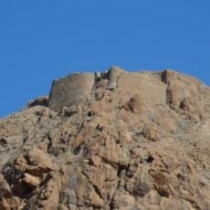
Mehrnegar Castle
26.2 km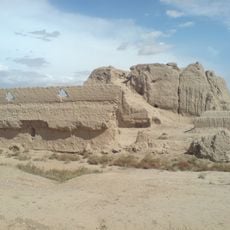
Zard Castle
467 m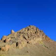
Mansur Kuh Castle
23.9 km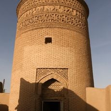
Pir-e Alamdar Tower
5.9 km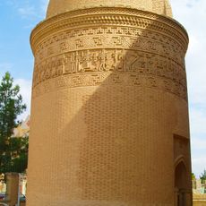
Chehel Dokhtaran Tower
6.5 km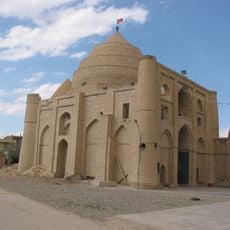
Imamzadeh Jafar (Damghan)
6.5 km
Zanguleh Dome
6.7 km
Damghan Caravanserai
6.6 km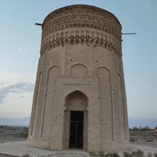
Mehmandust Tower
16.6 km
Shahrukh Afshar Mausoleum
6.5 km
Pir-e Alamdar Mosque
6 km
Haj Shokrollah Mosque
5.7 km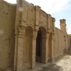
Ibrahimi Mansion (Damghan)
6.1 km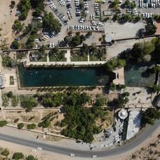
Cheshmeh-Ali Garden
32.8 km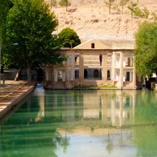
Cheshmeh-Ali Pavilion
32.9 km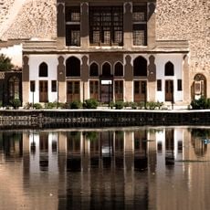
Cheshmeh-Ali Guardhouse
32.8 km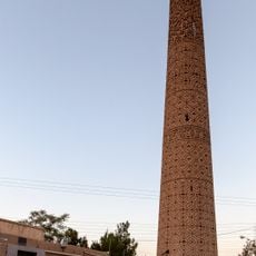
Minaret of Tarikhaneh
5.6 km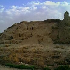
Tepe Dehmolla
35.6 km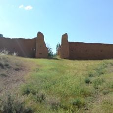
Cheshmeh-Ali Castle
32.8 km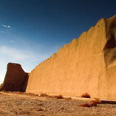
City walls of Damghan
4.9 km
Minaret of Jameh Mosque of Damghan
6 km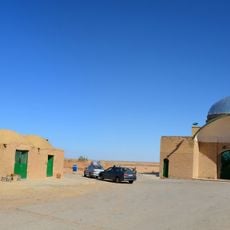
Imamzadeh Haft Tanan
19.9 km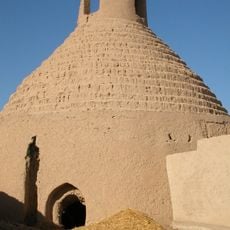
Shamsabad Icehouse (Damghan County)
292 m
Damghan Bazaar
6.3 kmVisited this place? Tap the stars to rate it and share your experience / photos with the community! Try now! You can cancel it anytime.
Discover hidden gems everywhere you go!
From secret cafés to breathtaking viewpoints, skip the crowded tourist spots and find places that match your style. Our app makes it easy with voice search, smart filtering, route optimization, and insider tips from travelers worldwide. Download now for the complete mobile experience.

A unique approach to discovering new places❞
— Le Figaro
All the places worth exploring❞
— France Info
A tailor-made excursion in just a few clicks❞
— 20 Minutes