
غار گل زرد, Iranian national heritage site
Location: Amol
Location: Lorestan Province
GPS coordinates: 35.84234,52.00265
Latest update: May 8, 2025 16:04
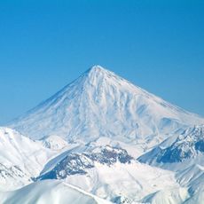
Damavand
15.8 km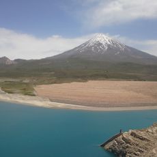
Lar Dam
5.2 km
Latyan Dam
29.9 km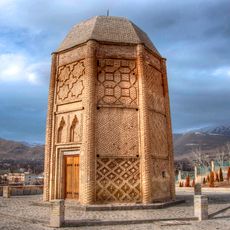
Shebeli Tower
15.3 km
Imamzadeh Hashem (Haraz Road)
7.7 km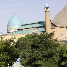
Jameh Mosque of Damavand
15.2 km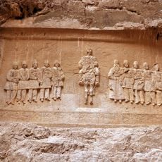
Naser al-Din Shah relief
26.5 km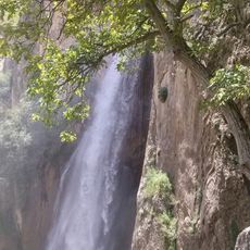
Shahandasht Waterfall
24.1 km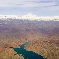
Mamlu Dam
34.7 km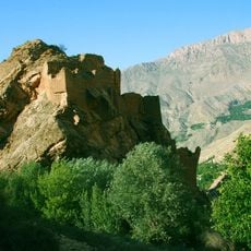
Malek Bahman Castle
24.1 km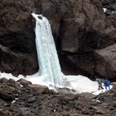
Yakhi Waterfall
15.3 km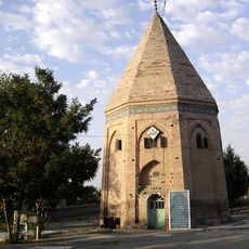
Imamzadeh Motahhar (Bumahen)
16.1 km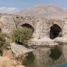
Jajrud Bridge
30.3 km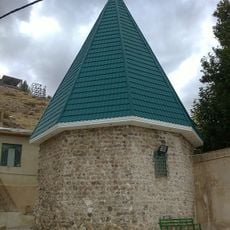
Imamzadeh Abdullah (Ayeneh Varzan)
27 km
Imamzadeh Abdullah and Khalilullah
14.9 km
Imamzadeh Muhammad
21.6 km
Imamzadeh Abdullah and Obaidullah
14.8 km
Imamzadeh Qasem (Damavand)
13.5 km
Kafer Keli
18.4 km
Imamzadeh Sadr al-Din and Bibi Khatun
37.4 km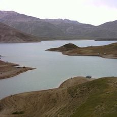
Lar Lake
8 km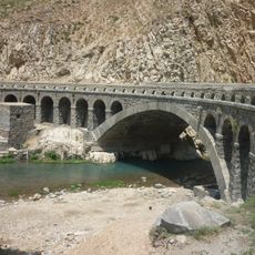
Shahi Bridge
5.1 km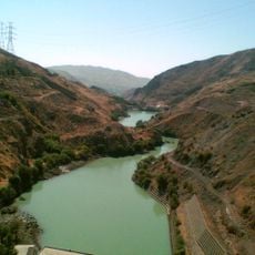
Latyan Detention Dam
29.8 km
Shahandasht Tekiyeh
24.5 km
Hassan Hassanzadeh Amoli House
15.5 km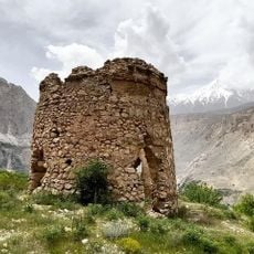
Si Tower
25.5 km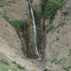
Amiri Waterfall
27.5 km
Imamzadeh Gatmir
28.4 kmReviews
Visited this place? Tap the stars to rate it and share your experience / photos with the community! Try now! You can cancel it anytime.
Discover hidden gems everywhere you go!
From secret cafés to breathtaking viewpoints, skip the crowded tourist spots and find places that match your style. Our app makes it easy with voice search, smart filtering, route optimization, and insider tips from travelers worldwide. Download now for the complete mobile experience.

A unique approach to discovering new places❞
— Le Figaro
All the places worth exploring❞
— France Info
A tailor-made excursion in just a few clicks❞
— 20 Minutes