
Al-Ghadir Dam, dam in Saveh County, Iran
Location: Saveh County
Official opening: 1993
Elevation above the sea: 1,139 m
Height: 128 m
Length: 265 m
Made from material: concrete
GPS coordinates: 34.89861,50.14139
Latest update: March 19, 2025 15:20

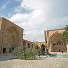
Jameh Mosque of Saveh
23.7 km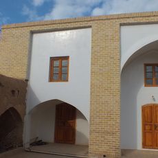
Jameh Mosque of Pachian
41.4 km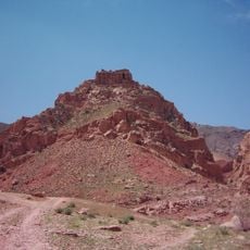
Qiz Qaleh
6.6 km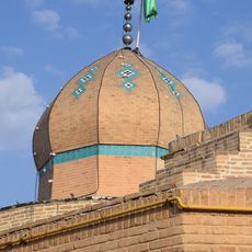
Imamzadeh Ishaq
24.6 km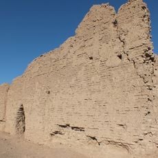
Qal'eh Dokhtar, Qom
63.4 km
پارک آبی آب و تاب
69 km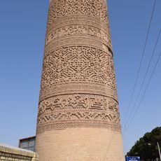
Minaret of Jameh Mosque of Saveh
23.8 km
Zagharam Tekiyeh
25.4 km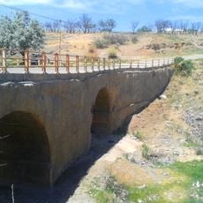
Varzaneh Bridge
40.6 km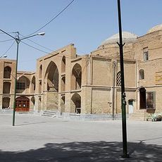
Red Mosque (Saveh)
24 km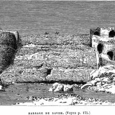
Old Saveh Dam
40 m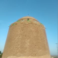
Imamzadeh Abdullah (Owjan)
23.4 km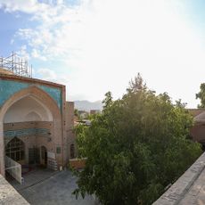
Jameh Mosque of Shesh Nav
25.4 km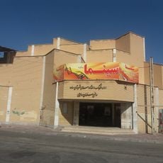
Salman Savoji Cinema
23.8 km
Bolur Ab Anbar
25.4 km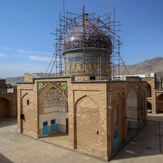
Imamzadeh Muhammad (Tafresh)
25.6 km
Imamzadeh Khadijeh Khatun (Salafchegan District)
67 km
Imamzadeh Harun (Saveh County)
33.4 km
Saveh Bazaar
24.1 km
امامزاده سید باباغار
59.1 km
Main dome of Jameh Mosque of Saveh
23.7 km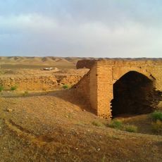
آبانبار طلاب
59.9 km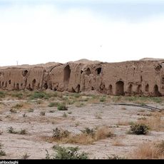
Sadri Caravanserai
66.8 km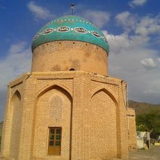
آرامگاه شاهزاده ذکریا
41.8 km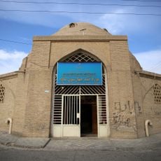
Gonbad-e Chahar Suq (Saveh)
24 km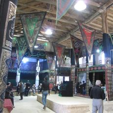
Shesh Nav Tekiyeh
25.3 km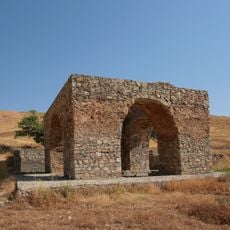
آتشکده نویس
18.8 km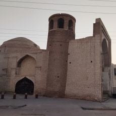
Minaret of Red Mosque (Saveh)
24 kmVisited this place? Tap the stars to rate it and share your experience / photos with the community! Try now! You can cancel it anytime.
Discover hidden gems everywhere you go!
From secret cafés to breathtaking viewpoints, skip the crowded tourist spots and find places that match your style. Our app makes it easy with voice search, smart filtering, route optimization, and insider tips from travelers worldwide. Download now for the complete mobile experience.

A unique approach to discovering new places❞
— Le Figaro
All the places worth exploring❞
— France Info
A tailor-made excursion in just a few clicks❞
— 20 Minutes