
Ordughesh Rural District, rural district in Razavi Khorasan, Iran
Location: Central District
Part of: Zeberkhan County
GPS coordinates: 36.13333,58.98333
Latest update: March 24, 2025 04:42
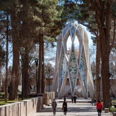
Omar Khayyam Mausoleum
14.9 km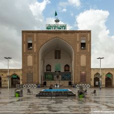
Jameh Mosque of Nishapur
18.5 km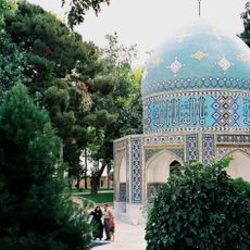
Attar Mausoleum
16.3 km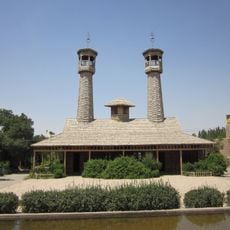
Wooden Mosque (Nishapur County)
10.4 km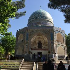
Qadamgah Shrine
7.7 km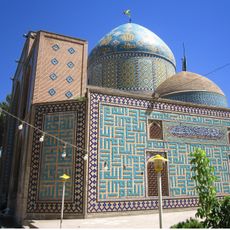
Imamzadeh Muhammad al-Mahruq
15 km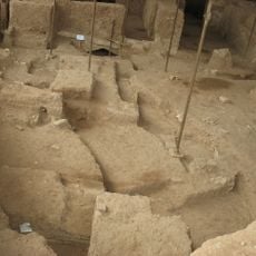
Shadiyakh
16.6 km
Abu Uthman al-Maghribi Mausoleum
15.5 km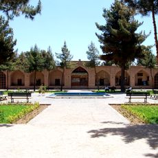
Shah Abbasi Caravanserai of Nishapur
17.8 km
Tomb of Kamal-ol-molk
16.3 km
Nishapur Roofed Bazaar
18.3 km
Heydar Yaghma Mausoleum
15.4 km
Amin al-Islami Mansion
19.3 km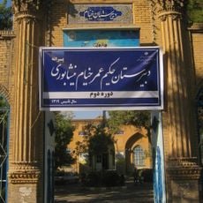
Omar Khayyam High School
17.7 km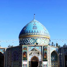
Fazl ibn Shazan Mausoleum
12.4 km
Omar Khayyam Square
17.7 km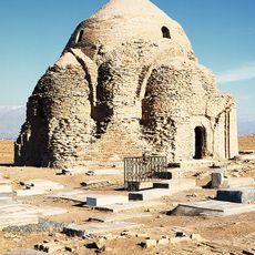
Mehrabad Brick Dome
20.3 km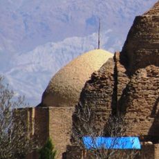
Mehrabad Small Dome
20.3 km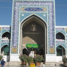
Shatita Mausoleum
20.8 km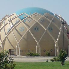
Khayyam Planetarium
15.1 km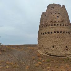
Eshaqabad Tower
13 km
Amin al-Islami Garden
19.3 km
New Bazaar Ab Anbar (Nishapur)
18.2 km
Golshan Madrasa (Nishapur)
18.5 km
Qadamgah Caravanserai
7.6 km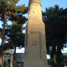
Omar Khayyam Stele
17.7 km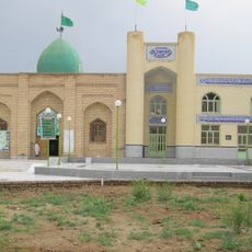
Imamzadeh Habib ibn Musa (Hajjiabad)
9.4 km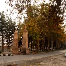
ستونهای یادبود خیام
15.1 kmReviews
Visited this place? Tap the stars to rate it and share your experience / photos with the community! Try now! You can cancel it anytime.
Discover hidden gems everywhere you go!
From secret cafés to breathtaking viewpoints, skip the crowded tourist spots and find places that match your style. Our app makes it easy with voice search, smart filtering, route optimization, and insider tips from travelers worldwide. Download now for the complete mobile experience.

A unique approach to discovering new places❞
— Le Figaro
All the places worth exploring❞
— France Info
A tailor-made excursion in just a few clicks❞
— 20 Minutes