
قلعه خورآباد, Iranian national heritage site
Location: Qom County
Location: Khuzestan Province
GPS coordinates: 34.51356,50.95847
Latest update: April 11, 2025 22:40
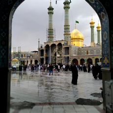
Fatima Masumeh Shrine
16 km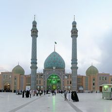
Jamkaran Mosque
8.8 km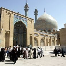
Azam Mosque of Qom
16.1 km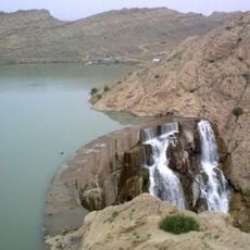
Kobar Dam
6.9 km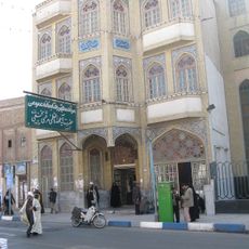
Ayatollah Marashi Najafi Library
15.9 km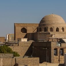
Jameh Mosque of Qom
15.6 km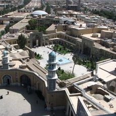
Feyziyeh Madrasa
16.1 km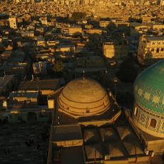
Chehel Akhtaran Mosque
15 km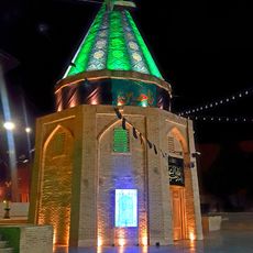
Imamzadeh Ibrahim
14.4 km
Khomeini House (Qom)
15.5 km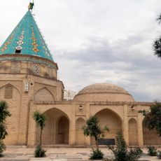
Imamzadeh Ali ibn Jafar (Qom)
14.2 km
Mulla Sadra House
16.5 km
Haj Ali Khan Zand House
15.3 km
Imamzadeh Sakineh Khatun (Qom County)
15.9 km
Pasangan Caravanserai
10.3 km
Grand Timcheh of Qom
16.1 km
بیمارستان ولی عصر
13.9 km
Imamzadeh Shah Ahmad Qasem
14.8 km
Imamzadeh Shah Jamal
16.4 km
Chehel Akhtaran Complex
15 km
Imamzadeh Musa al-Mubarqa
14.9 km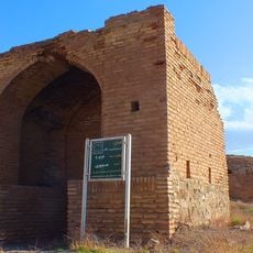
Pasangan Brick Ab Anbar
10.2 km
Pasangan Stone Ab Anbar
10.2 km
Imamzadeh Sakineh Khatun Mounds
15.8 km
مجموعه امامزادگان
10 km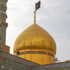
Golden Dome
16 km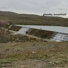
Upper Kobar Dam
6.4 km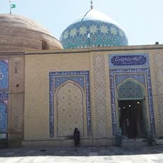
Imamzadeh Chehel Akhtaran
14.9 kmReviews
Visited this place? Tap the stars to rate it and share your experience / photos with the community! Try now! You can cancel it anytime.
Discover hidden gems everywhere you go!
From secret cafés to breathtaking viewpoints, skip the crowded tourist spots and find places that match your style. Our app makes it easy with voice search, smart filtering, route optimization, and insider tips from travelers worldwide. Download now for the complete mobile experience.

A unique approach to discovering new places❞
— Le Figaro
All the places worth exploring❞
— France Info
A tailor-made excursion in just a few clicks❞
— 20 Minutes