
Roburent, Italian comune
Location: Province of Cuneo
Capital city: Roburent
Elevation above the sea: 788 m
Shares border with: Frabosa Soprana, Garessio, Montaldo di Mondovì, Torre Mondovì, Ormea, Pamparato
Website: http://comune.roburent.cn.it
GPS coordinates: 44.31667,7.88333
Latest update: March 30, 2025 20:19

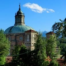
Basilica Shrine of Our Lady of Mondovi
5.4 km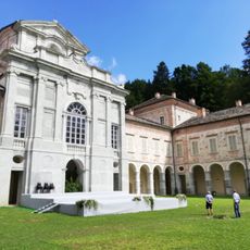
Reggia di Valcasotto
10.2 km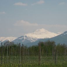
Monte Mondolè
14.6 km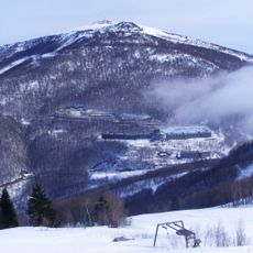
Bric Mindino
10.5 km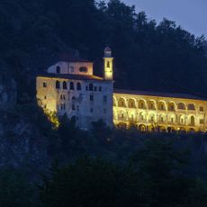
Shrine of St. Lucy
10.6 km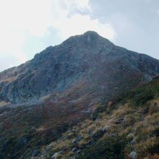
Pizzo d'Ormea
17.3 km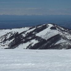
Monte Alpet
6.3 km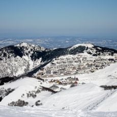
Mondolé Ski
10 km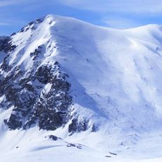
Monte Antoroto
14.6 km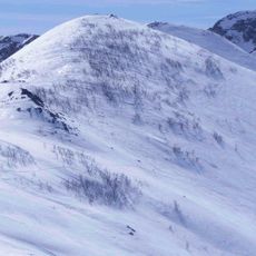
Monte Grosso (Ligurian Alps)
13.8 km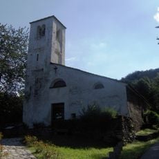
Pieve di San Maurizio
9.7 km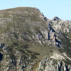
Cima Seirasso
16.3 km
Nuova Giacobba
3.4 km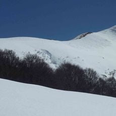
Monte Baussetti
12.7 km
Monte Antoroto
14.5 km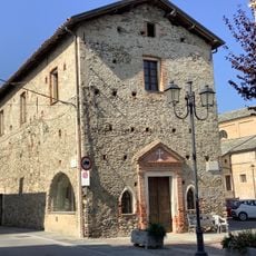
Chiesa di Santa Croce
10.9 km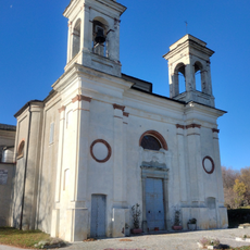
Santuario della Madonna della Neve
6.5 km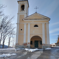
Cappella della Santissima Annunziata
8.3 km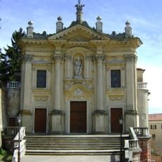
Parish church of Saints Donatus and John
6.6 km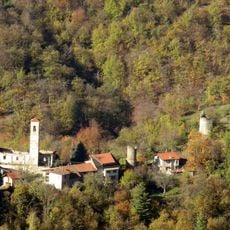
Castello
8.2 km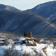
Torre di Scagnello
8.3 km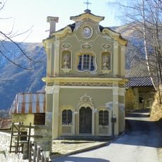
Sant'Anna
13.5 km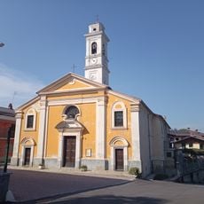
Chiesa di San Giuseppe
8.3 km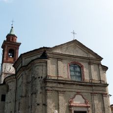
San Giacomo
1.6 km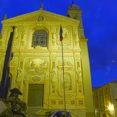
Chiesa della Santissima Trinità
12.3 km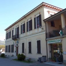
Town hall of Priola
13.6 km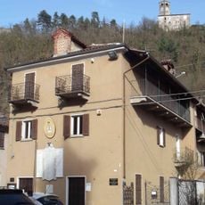
Town hall of Torre Mondovì
4.2 km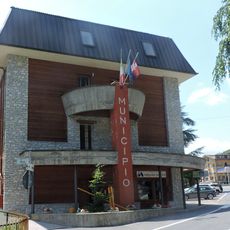
Town hall of Frabosa Sottana
7 kmReviews
Visited this place? Tap the stars to rate it and share your experience / photos with the community! Try now! You can cancel it anytime.
Discover hidden gems everywhere you go!
From secret cafés to breathtaking viewpoints, skip the crowded tourist spots and find places that match your style. Our app makes it easy with voice search, smart filtering, route optimization, and insider tips from travelers worldwide. Download now for the complete mobile experience.

A unique approach to discovering new places❞
— Le Figaro
All the places worth exploring❞
— France Info
A tailor-made excursion in just a few clicks❞
— 20 Minutes