
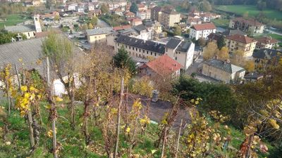
Pomaretto, Italian comune
Location: Metropolitan City of Turin
Elevation above the sea: 630 m
Website: http://www.comune.pomaretto.to.it/
Shares border with: Inverso Pinasca, Perosa Argentina, Perrero, Pramollo
Website: http://comune.pomaretto.to.it
GPS coordinates: 44.95598,7.18278
Latest update: March 9, 2025 15:47
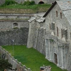
Fenestrelle Fort
13.1 km
Parco naturale Orsiera-Rocciavrè
10.8 km
Punta dell'Aquila
6.9 km
Monte Freidour
9.7 km
Colle della Vaccera
9.1 km
Monte Tre Denti
11.2 km
Ossario dei caduti di Forno di Coazze
10.2 km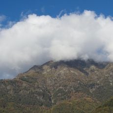
Monte Vandalino
13.3 km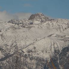
Punta Cristalliera
11.3 km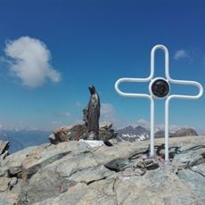
Monte Rocciavrè
10.5 km
Monte Robinet
9.7 km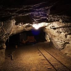
Ecomuseo Miniere e Val Germanasca
9.8 km
Gran Truc
7.8 km
Punta Cornour
13.8 km
Parco naturale del Monte Tre Denti - Freidour
11.1 km
Parco naturale di Conca Cialancia
10.1 km
Forte San Moritio
6.6 km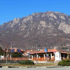
Monte Brunello
12.2 km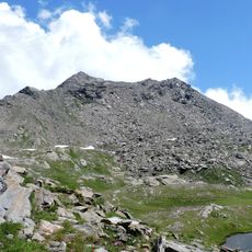
Punta Cialancia
12.3 km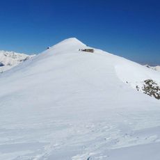
Rocca Bianca (Germanasca Valley)
9.2 km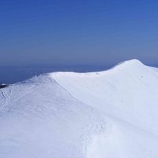
Monte Cugno dell'Alpet
7.2 km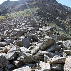
Monte Pian Real
11 km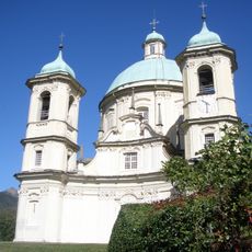
Chiesa di San Pietro in Vincoli
6.2 km
School museum Odin-Bertot
12.9 km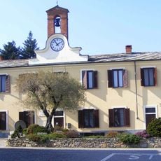
Town hall of Cantalupa
11.9 km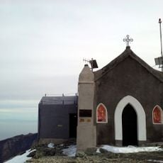
Cappella della Madonna degli Angeli
9.7 km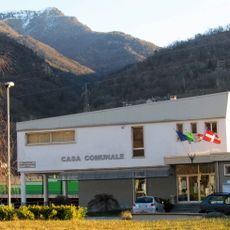
Town hall of Inverso Pinasca
2.8 km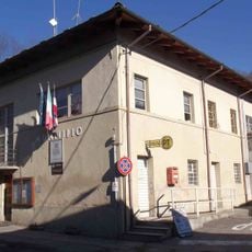
Town hall of Angrogna
12.9 kmReviews
Visited this place? Tap the stars to rate it and share your experience / photos with the community! Try now! You can cancel it anytime.
Discover hidden gems everywhere you go!
From secret cafés to breathtaking viewpoints, skip the crowded tourist spots and find places that match your style. Our app makes it easy with voice search, smart filtering, route optimization, and insider tips from travelers worldwide. Download now for the complete mobile experience.

A unique approach to discovering new places❞
— Le Figaro
All the places worth exploring❞
— France Info
A tailor-made excursion in just a few clicks❞
— 20 Minutes